Kinderpretland, Weert
Map

Map

Facts and practical information
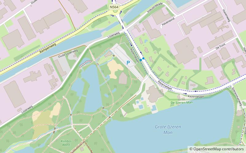
Kinderpretland (address: Geurtsvenweg 4) is a place located in Weert (Limburg province) and belongs to the category of playground.
It is situated at an altitude of 125 feet, and its geographical coordinates are 51°14'35"N latitude and 5°40'8"E longitude.
Among other places and attractions worth visiting in the area are: Sint Oda (windmill, 37 min walk), Sint Anna (historical place, 39 min walk), Gemeentemuseum Jacob van Horne (specialty museum, 45 min walk).
Coordinates: 51°14'35"N, 5°40'8"E
Day trips
Kinderpretland – popular in the area (distance from the attraction)
Nearby attractions include: Gemeentemuseum Jacob van Horne, Broekmolen, De Nijverheid, St. Anna - Tungelroy.
Frequently Asked Questions (FAQ)
When is Kinderpretland open?
Kinderpretland is open:
- Monday closed
- Tuesday 10 am - 5 pm
- Wednesday 10 am - 5 pm
- Thursday 10 am - 5 pm
- Friday 10 am - 5 pm
- Saturday 1 pm - 5 pm
- Sunday 1 pm - 5 pm


