Leidsche Rijn, Utrecht
Map

Map

Facts and practical information
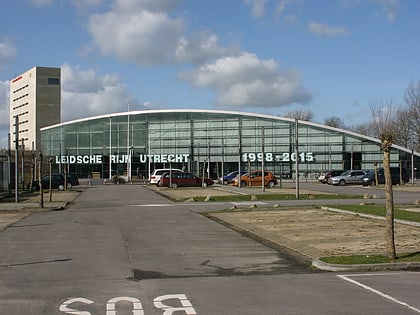
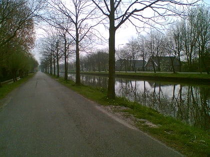
Leidsche Rijn is a neighbourhood in the west of Utrecht in the central Netherlands. It consists of two parts, Leidsche Rijn and Vleuten-De Meern. By 2007 the neighbourhoods of Veldhuizen, Parkwijk, Langerak and large parts of Terwijde were inhabited. ()
Address
Leidsche Rijn (Het Zand-Oost)Utrecht
ContactAdd
Social media
Add
Day trips
Leidsche Rijn – popular in the area (distance from the attraction)
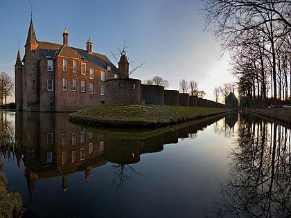
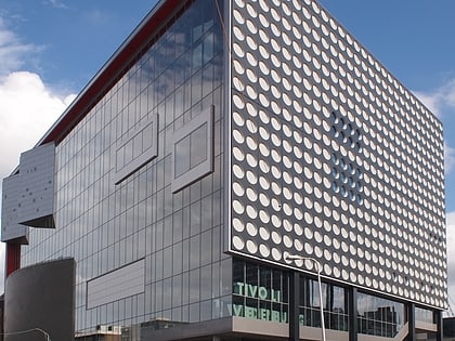
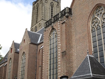
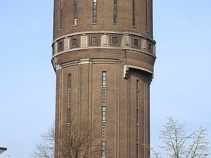
Nearby attractions include: Slot Zuylen, TivoliVredenburg, Jacobikerk, Amsterdamsestraatweg Water Tower.
Frequently Asked Questions (FAQ)
How to get to Leidsche Rijn by public transport?
The nearest stations to Leidsche Rijn:
Bus
Train
Bus
- Het Zand • Lines: 4 (8 min walk)
- Duke Ellingtonstraat • Lines: 11, 5 (10 min walk)
Train
- Utrecht Terwijde (12 min walk)
- Utrecht Leidsche Rijn (15 min walk)
