Het Houten Stadion, Amsterdam
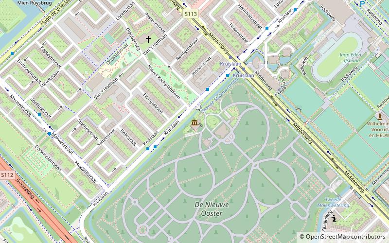
Map
Facts and practical information
Het Houten Stadion is a former stadium of AFC Ajax which served as the team's home stadium from 1907 to 1934. ()
Alternative names: Opened: 1907 (119 years ago)Capacity: 15 thous.Coordinates: 52°20'60"N, 4°56'22"E
Address
Stadsdeel Oost (Middenmeer)Amsterdam
ContactAdd
Social media
Add
Day trips
Het Houten Stadion – popular in the area (distance from the attraction)
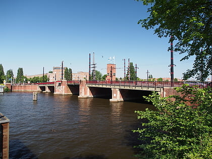
Nearby attractions include: Tropenmuseum, Berlagebrug, Dappermarkt, De Gooyer.
Frequently Asked Questions (FAQ)
Which popular attractions are close to Het Houten Stadion?
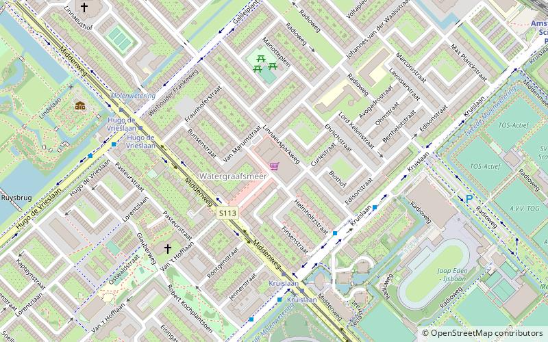
Nearby attractions include Watergraafsmeer, Amsterdam (2 min walk), Museum tot zover, Amsterdam (7 min walk), Amsterdam-Oost, Amsterdam (11 min walk), Oostpoort, Amsterdam (16 min walk).
How to get to Het Houten Stadion by public transport?
The nearest stations to Het Houten Stadion:
Bus
Tram
Train
Metro
Bus
- Linnaeusparkweg • Lines: 40 (4 min walk)
- Kruislaan • Lines: 320, 322, 327, 40, 41, N22, N87 (5 min walk)
Tram
- Kruislaan • Lines: 19 (4 min walk)
- Hugo de Vrieslaan • Lines: 19 (6 min walk)
Train
- Amsterdam Science Park (11 min walk)
- Amsterdam Muiderpoort (22 min walk)
Metro
- Amstelstation • Lines: 51, 53, 54 (25 min walk)
- Spaklerweg • Lines: 51, 53, 54 (27 min walk)
 Metro / Trams
