Markermeer, Lelystad

Gallery (2)
Map
Map
Gallery
Facts and practical information
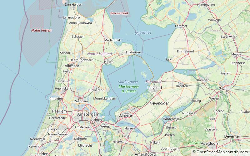
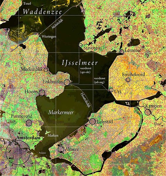
The Markermeer is a 700 km2 lake in the central Netherlands in between North Holland, Flevoland, and its smaller and larger neighbors, the IJmeer and IJsselmeer. A shallow lake at 3 to 5 m in depth, matching the reclaimed land to its west, north-west and east it is named after the small former island, now peninsula, of Marken on its west shore. ()
Alternative names: Area: 270.27 mi²Maximum depth: 16 ftElevation: 0 ft a.s.l.Coordinates: 52°34'0"N, 5°13'0"E
Address
Lelystad
ContactAdd
Social media
Add
Day trips
Markermeer – popular in the area (distance from the attraction)
Nearby attractions include: Nieuw Land National Park.
