IJmeer, Stelling van Amsterdam
Map
Facts and practical information
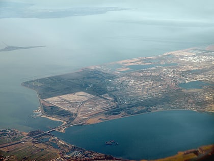
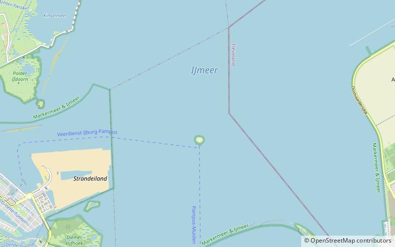
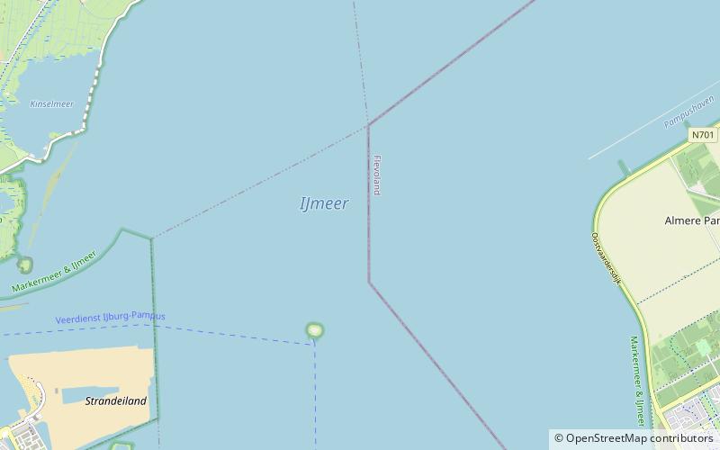
The IJmeer is a 'bordering lake' in the Netherlands. It lies between the De Nes polder, Pampushaven, Hollandse Brug and the mouth of the IJ in IJburg, straddling the provinces of North Holland and Flevoland. It is an important habitat for birds such as the tufted duck and scaup. To the north-east is the Markermeer, south-east is the Gooimeer. ()
Address
Stelling van Amsterdam
ContactAdd
Social media
Add
Day trips
IJmeer – popular in the area (distance from the attraction)
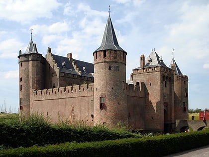
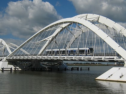
Nearby attractions include: Muiderslot, Enneüs Heerma Bridge, Hollandse Brug, Hogewey.
Frequently Asked Questions (FAQ)
Which popular attractions are close to IJmeer?
Nearby attractions include Bordering lakes, Stelling van Amsterdam (19 min walk), Fort Pampus Batterij, Stelling van Amsterdam (24 min walk).
How to get to IJmeer by public transport?
The nearest stations to IJmeer:
Ferry
Ferry
- Pampus steiger • Lines: Veerdienst IJburg - Pampus, Veerdienst Pampus - IJburg (26 min walk)
