Rottum

Gallery (1)
Map
Map
Facts and practical information
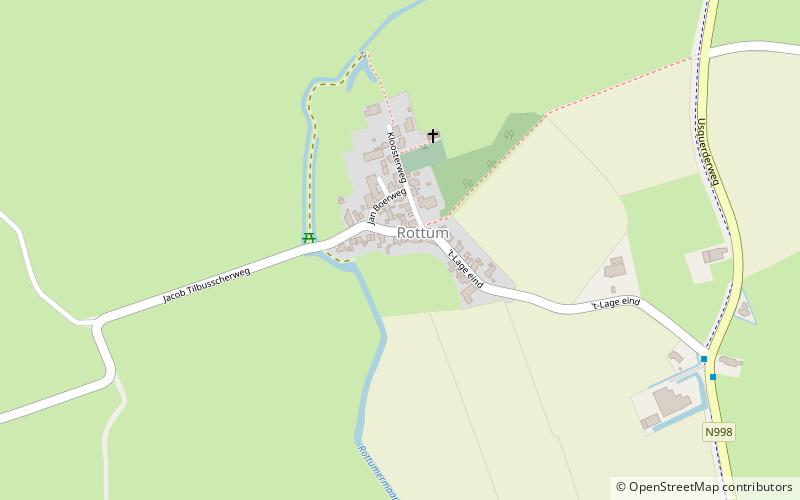
Rottum is a small village on an artificial dwelling hill between Kantens and Usquert in the municipality of Het Hogeland, falling under the province Groningen in the Netherlands. It had a population of around 85 in January 2017. ()
Location
Groningen
ContactAdd
Social media
Add
Day trips


