Bezuidenhout, The Hague
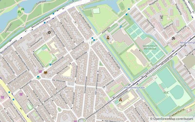
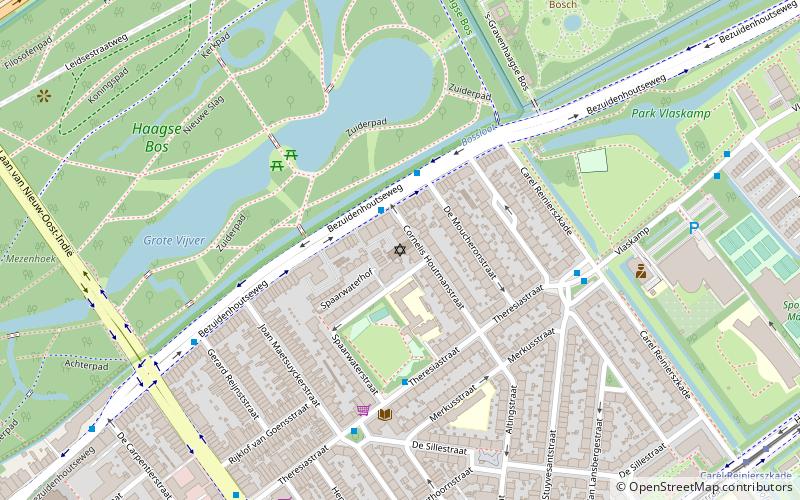
Map
Facts and practical information
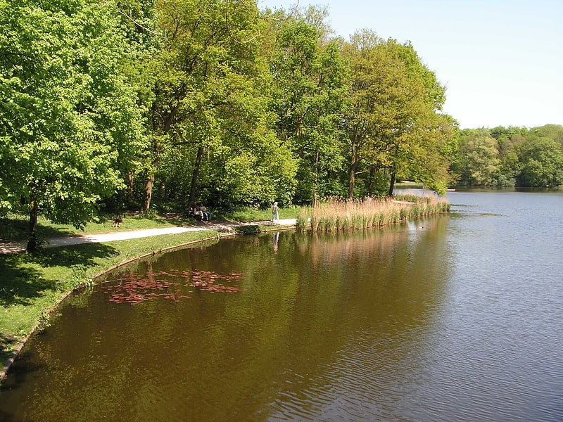
Bezuidenhout is the neighborhood southeast of the Haagse Bos neighborhood of The Hague in the Netherlands. Bezuidenhout includes the Beatrixkwartier financial area near the Central Station and streets such as Bezuidenhoutseweg, Juliana van Stolberglaan, Laan van Nieuw Oost-Indië, Prins Clauslaan, and Theresiastraat. ()
Address
Bezuidenhout (Bezuidenhout-Oost)The Hague
ContactAdd
Social media
Add
Getting there by public transportation
Public transportation stops near this location
- Metro
- Bus
- Tram
- Train
 Metro
Metro
- Calculate routeDe Eerensplein 3 min walk
- Calculate routeSpaarwaterstraat 6 min walk
- Calculate routeOverbosch 6 min walk
- Calculate routeCarel Renierszkade 7 min walk
- Calculate routeCarel Reinierszkade 5 min walk
- Calculate routeStuyvesantplein 7 min walk
- Calculate routeReigersbergenweg 10 min walk
- Calculate routeOostinje 10 min walk
- Calculate routeDen Haag Laan van NOI 17 min walk
- Calculate routeVoorburg 't Loo 25 min walk
- Calculate routeDen Haag Centraal 26 min walk
- Calculate routeDen Haag Mariahoeve 28 min walk
Day trips


Frequently Asked Questions (FAQ)
Which popular attractions are close to Bezuidenhout?
Nearby attractions include Nederlands Israëlitische Gemeente Den Haag, The Hague (6 min walk), Huis ten Bosch, The Hague (10 min walk), Haagse Hout, The Hague (16 min walk), Beatrixkwartier, The Hague (19 min walk).
How to get to Bezuidenhout by public transport?
The nearest stations to Bezuidenhout:
Bus
Tram
Metro
Train
Bus
- De Eerensplein • Lines: 24 (3 min walk)
- Spaarwaterstraat • Lines: 24 (6 min walk)
Tram
- Carel Reinierszkade • Lines: 6 (5 min walk)
- Stuyvesantplein • Lines: 6 (7 min walk)
Metro
- Den Haag Laan van NOI • Lines: E (17 min walk)
- Voorburg 't Loo • Lines: E (25 min walk)
Train
- Den Haag Centraal (26 min walk)
- Den Haag Mariahoeve (28 min walk)