De Pijp, Amsterdam
Map
Map

Facts and practical information
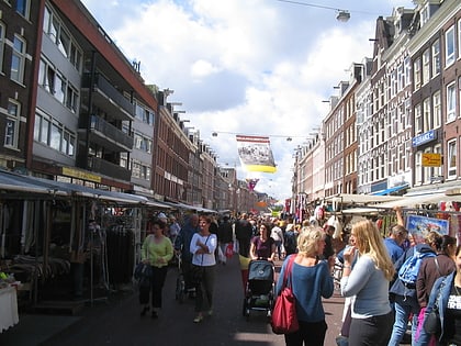
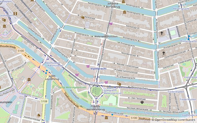
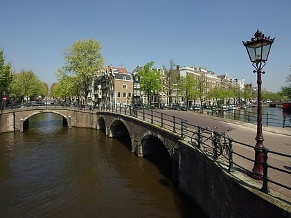
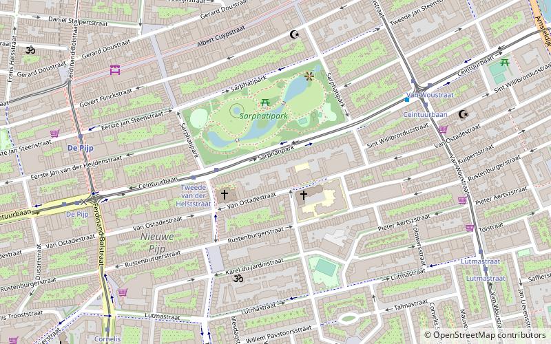
De Pijp is a neighbourhood of Amsterdam, Netherlands. It is located directly south of Amsterdam's city centre and it is part of the borough Amsterdam-Zuid, in a part of the city known as the Old South. It is served by De Pijp metro station. Most streets in De Pijp are named after Dutch painters, like Jan Steen, Frans Hals, Ruysdael and Vincent van Gogh. Diamantbuurt, Nieuwe Pijp and Oude Pijp are the three districts composing the area. ()
Address
Stadsdeel Zuid (Nieuwe Pijp)Amsterdam
ContactAdd
Social media
Add
Day trips
De Pijp – popular in the area (distance from the attraction)
Nearby attractions include: Rijksmuseum, FOAM, Heineken Experience, Albert Cuyp Market.
Frequently Asked Questions (FAQ)
Which popular attractions are close to De Pijp?
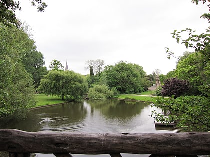
Nearby attractions include Sarphatipark, Amsterdam (3 min walk), Oude Pijp, Amsterdam (5 min walk), Albert Cuyp Market, Amsterdam (5 min walk), Nieuwe Pijp, Amsterdam (6 min walk).
How to get to De Pijp by public transport?
The nearest stations to De Pijp:
Bus
Tram
Metro
Train
Bus
- Tweede van der Helststraat • Lines: 246 (2 min walk)
- Van Woustraat • Lines: N85 (6 min walk)
Tram
- Tweede van der Helststraat • Lines: 3 (3 min walk)
- Van Woustraat • Lines: 3 (6 min walk)
Metro
- De Pijp • Lines: 52 (7 min walk)
- Vijzelgracht • Lines: 52 (15 min walk)
Train
- Amsterdam RAI (30 min walk)
- Amsterdam Zuid (36 min walk)

 Metro / Trams


