Westelijke Eilanden, Amsterdam

Gallery (10)
Map

Map

Gallery
Facts and practical information
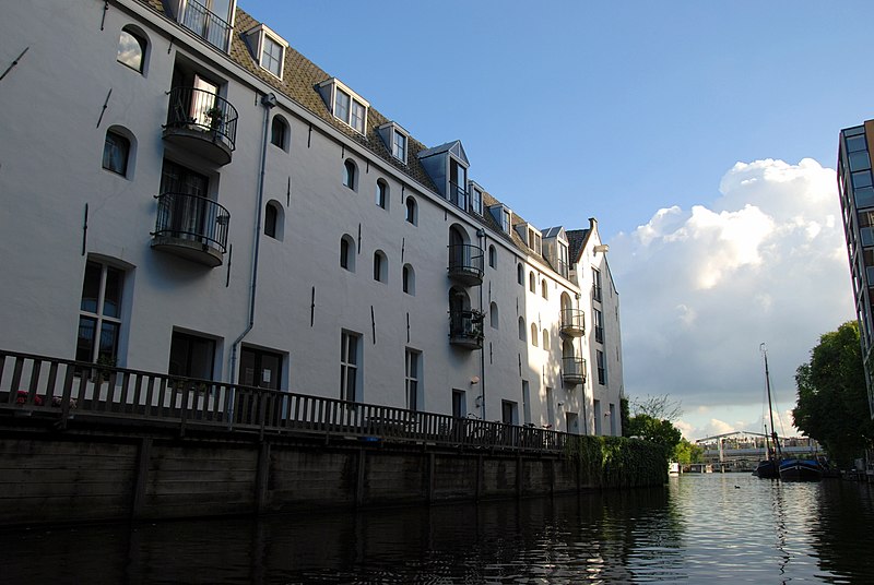
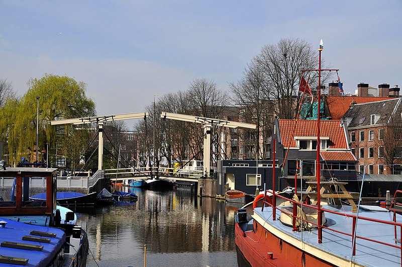
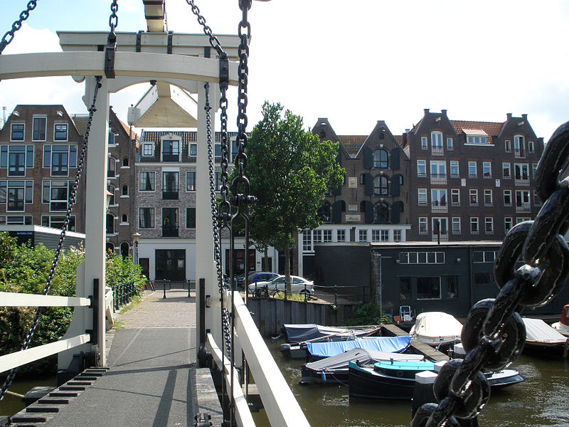
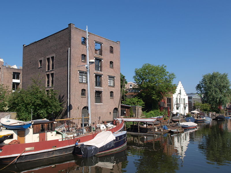
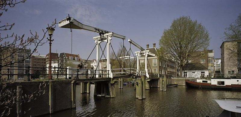
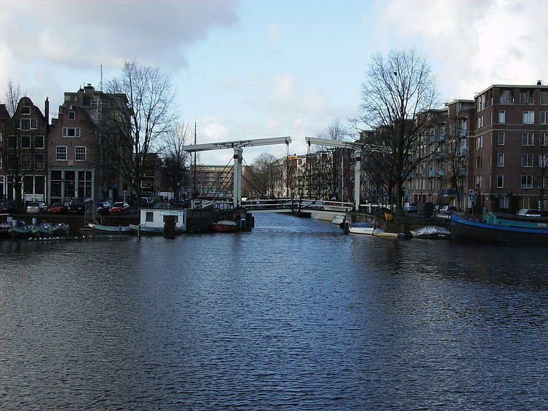
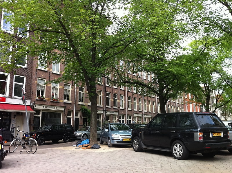
Westelijke Eilanden are three islands in the Centrum district of Amsterdam: Bickerseiland, Prinseneiland and Realeneiland. They are located to the south of the IJ and the Zeeheldenbuurt, to the north of the railway line between Central Station and Amsterdam-Sloterdijk, to the west of the Westerdok and to the east of the Planciusbuurt on the Westerkanaal. The Westelijke Eilanden form the core of the Golden Reael area, which also includes the adjacent Westerdok island, the Haarlemmerbuurt and the Planciusbuurt. ()
Address
Stadsdeel Centrum (Haarlemmerbuurt)Amsterdam
ContactAdd
Social media
Add
Getting there by public transportation
Public transportation stops near this location
- Metro
- Bus
- Tram
- Train
- Ferry
 Metro
Metro
- Calculate routeBarentszplein 6 min walk
- Calculate routeHaarlemmerplein 6 min walk
- Calculate routeWesterdoksdijk 7 min walk
- Calculate routeHoutmankade 8 min walk
- Calculate routeEerste Marnixdwarsstraat 10 min walk
- Calculate routeNieuwe Willemstraat 13 min walk
- Calculate routeDe Wittenkade 14 min walk
- Calculate routeNassaukade 15 min walk
- Calculate routeAmsterdam Central Station 21 min walk
- Calculate routeCentraal Station 22 min walk
- Calculate routeRokin 31 min walk
- Calculate routeNieuwmarkt 32 min walk
- Calculate routeCentraal Station 24 min walk
- Calculate routeNdsm 25 min walk
- Calculate routeIJplein 25 min walk
Maps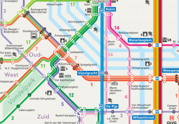 Metro / Trams
Metro / TramsDay trips


Frequently Asked Questions (FAQ)
Which popular attractions are close to Westelijke Eilanden?
Nearby attractions include Realengracht, Amsterdam (1 min walk), Smallepadsgracht, Amsterdam (1 min walk), Zoutkeetsgracht, Amsterdam (2 min walk), Gouden Reael, Amsterdam (3 min walk).
How to get to Westelijke Eilanden by public transport?
The nearest stations to Westelijke Eilanden:
Bus
Tram
Train
Metro
Ferry
Bus
- Barentszplein • Lines: 248, 48 (6 min walk)
- Haarlemmerplein • Lines: 18, 21, 22, N81, N88 (6 min walk)
Tram
- Eerste Marnixdwarsstraat • Lines: 5 (10 min walk)
- Nieuwe Willemstraat • Lines: 5 (13 min walk)
Train
- Amsterdam Central Station (21 min walk)
Metro
- Centraal Station • Lines: 51, 52, 53, 54 (22 min walk)
- Rokin • Lines: 52 (31 min walk)
Ferry
- Centraal Station • Lines: F2 (24 min walk)
- Ndsm • Lines: F4, F5 (25 min walk)