Escamp, The Hague
Map
Facts and practical information
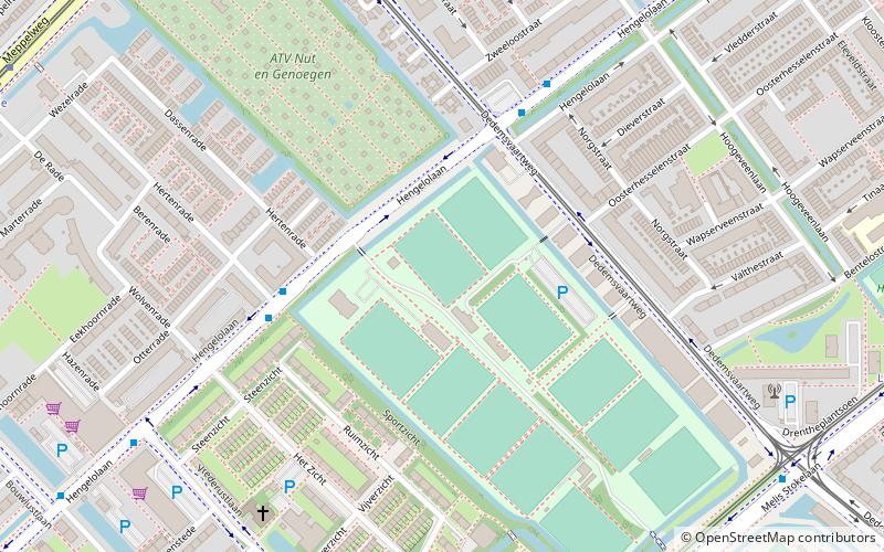
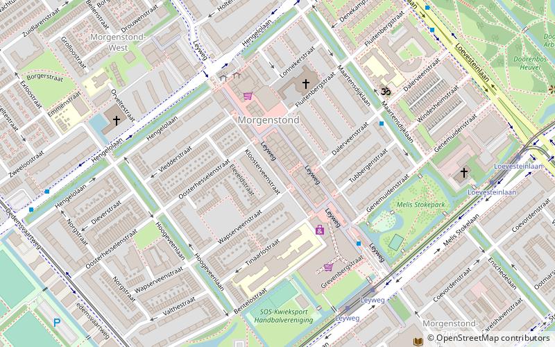
Escamp is a district of The Hague, Netherlands, built largely after the Second World War, on the 15th century Eskamppolders. With the addition of the Vinex neighbourhood Wateringse Veld, Escamp is the most populous district of the city; as of January 2013, it had 118,483 inhabitants. The district features one railway station: Den Haag Moerwijk. ()
Address
Bouwlust en Vrederust (Zijden Steden en Zichten)The Hague
ContactAdd
Social media
Add
Getting there by public transportation
Public transportation stops near this location
- Bus
- Tram
 Bus
Bus
- Calculate routeHertenrade 4 min walk
- Calculate routeZweeloostraat 5 min walk
- Calculate routeDe Stede 8 min walk
- Calculate routeVrederustlaan 8 min walk
- Calculate routeWolweversgaarde 9 min walk
- Calculate routeDedemsvaartweg 10 min walk
- Calculate routeLeggelostraat 11 min walk
- Calculate routeRevalidatiecentrum 11 min walk
Day trips


Frequently Asked Questions (FAQ)
How to get to Escamp by public transport?
The nearest stations to Escamp:
Bus
Tram
Bus
- Hertenrade • Lines: 21, 25 (4 min walk)
- Zweeloostraat • Lines: 21, 25 (5 min walk)
Tram
- Wolweversgaarde • Lines: 9 (9 min walk)
- Dedemsvaartweg • Lines: 4 (10 min walk)