Houtwijk, The Hague
Map
Facts and practical information
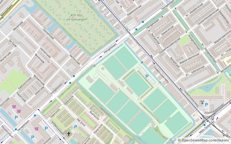
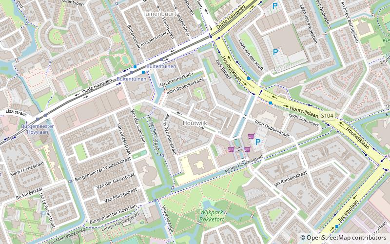
Houtwijk is a neighbourhood of The Hague, located in the Loosduinen district, with more than 5,000 homes. Houtwijk mainly contains a lot of new constructions that were built both in and after the 1970s and 1980s. There are also both many owner-occupied and rental properties. While officially a neighbourhood of Loosduinen, some residents consider it its own subdistrict. This is mainly because its name contains wijk which translates to "district". ()
Address
Loosduinen (Houtwijk)The Hague
ContactAdd
Social media
Add
Day trips
Houtwijk – popular in the area (distance from the attraction)
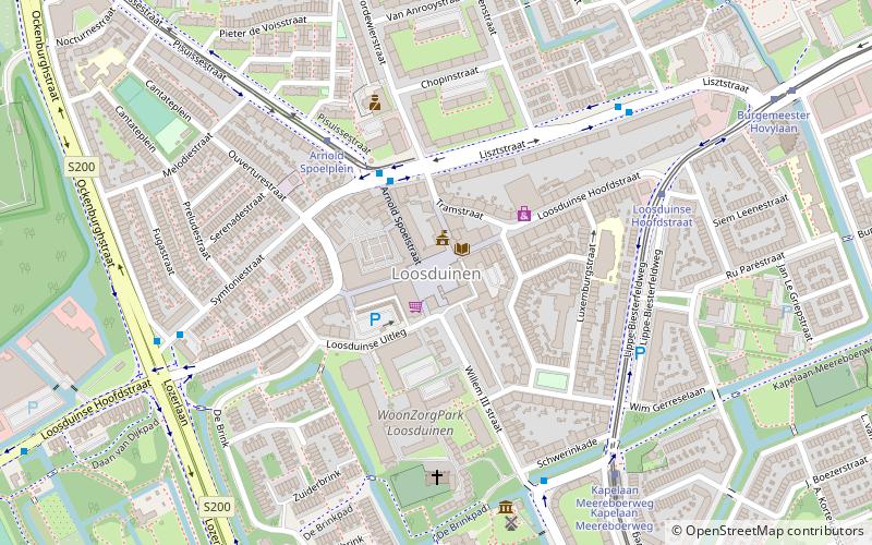
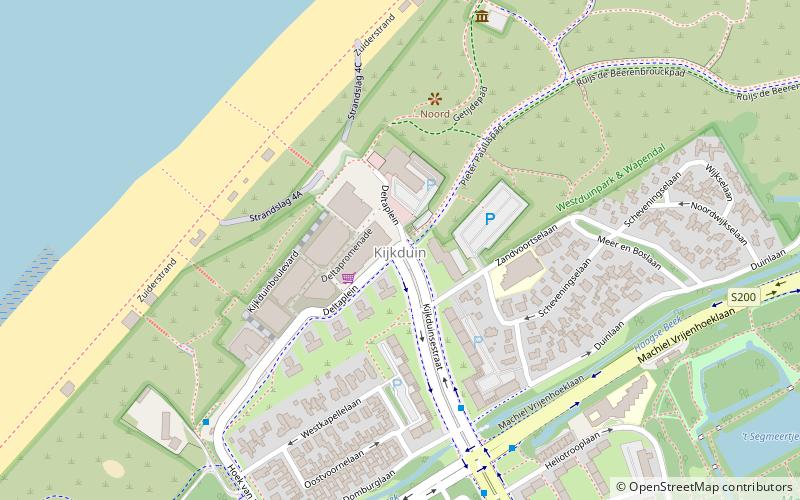
Nearby attractions include: Oud Eik en Duinen, Loosduinen, Kijkduin, Klimmuur Den Haag.
Frequently Asked Questions (FAQ)
How to get to Houtwijk by public transport?
The nearest stations to Houtwijk:
Bus
Tram
Bus
- Houtwijklaan • Lines: 21, 26, 31 (4 min walk)
- Buitentuinen • Lines: 26, 31 (4 min walk)
Tram
- Buitentuinen • Lines: 2 (4 min walk)
- Burgemeester Hovylaan • Lines: 2 (8 min walk)
