Kolenkit District, Amsterdam
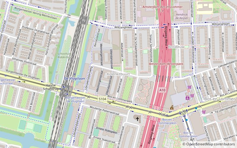
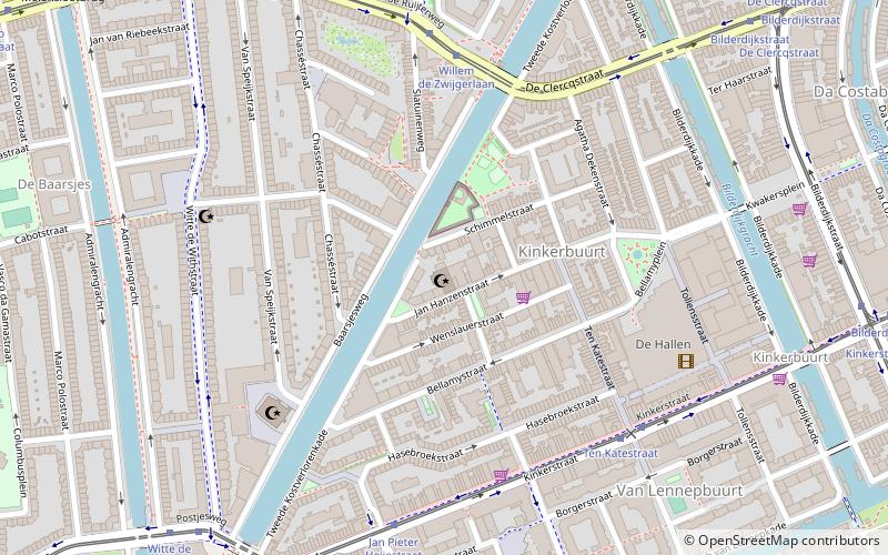
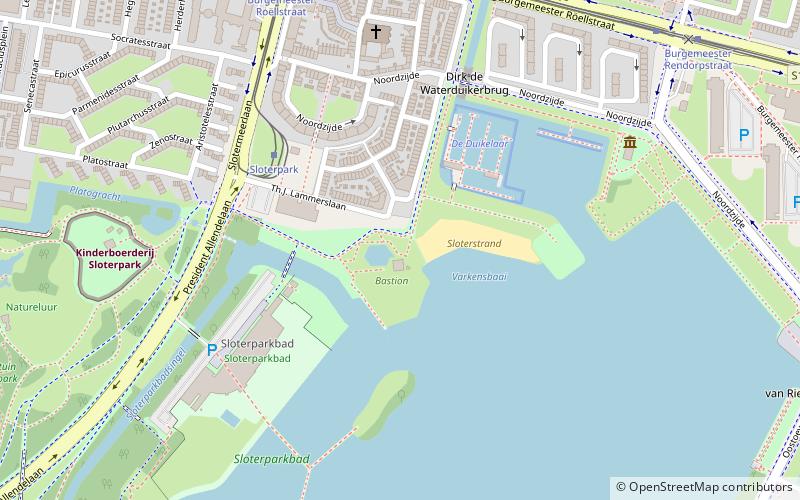
Map
Facts and practical information
Kolenkit District is a neighbourhood in Amsterdam, Netherlands. ()
Address
Stadsdeel West (De Kolenkit)Amsterdam
ContactAdd
Social media
Add
Getting there by public transportation
Public transportation stops near this location
- Metro
- Bus
- Tram
- Train
 Metro
Metro
- Calculate routeDe Vlugtlaan 4 min walk
- Calculate routeJan van Galenstraat 14 min walk
- Calculate routeStation Sloterdijk 17 min walk
- Calculate routePostjesweg 28 min walk
- Calculate routeBurgemeester de Vlugtlaan 5 min walk
- Calculate routeBos en Lommerplein 7 min walk
- Calculate routeErasmusgracht 9 min walk
- Calculate routeBurgemeester de Vlugtlaan 5 min walk
- Calculate routeBos en Lommerplein 6 min walk
- Calculate routeErasmusgracht 9 min walk
- Calculate routeAmsterdam Sloterdijk 17 min walk
Maps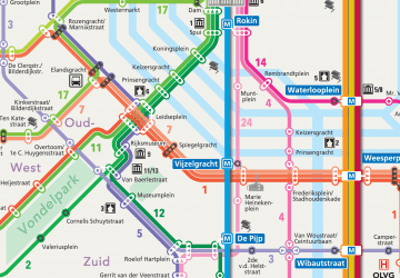 Metro / Trams
Metro / TramsDay trips


Frequently Asked Questions (FAQ)
Which popular attractions are close to Kolenkit District?
Nearby attractions include Bos en Lommer, Amsterdam (9 min walk), Amsterdam-West, Amsterdam (14 min walk), Landlust, Amsterdam (19 min walk), Slotermeer, Amsterdam (22 min walk).
How to get to Kolenkit District by public transport?
The nearest stations to Kolenkit District:
Metro
Bus
Tram
Train
Metro
- De Vlugtlaan • Lines: 50, 51 (4 min walk)
- Jan van Galenstraat • Lines: 50, 51 (14 min walk)
Bus
- Burgemeester de Vlugtlaan • Lines: 21, 80, N82 (5 min walk)
- Bos en Lommerplein • Lines: 15, 21, 247, 80, N82 (7 min walk)
Tram
- Burgemeester de Vlugtlaan • Lines: 7 (5 min walk)
- Bos en Lommerplein • Lines: 7 (6 min walk)
Train
- Amsterdam Sloterdijk (17 min walk)