Kralingseveer, Rotterdam
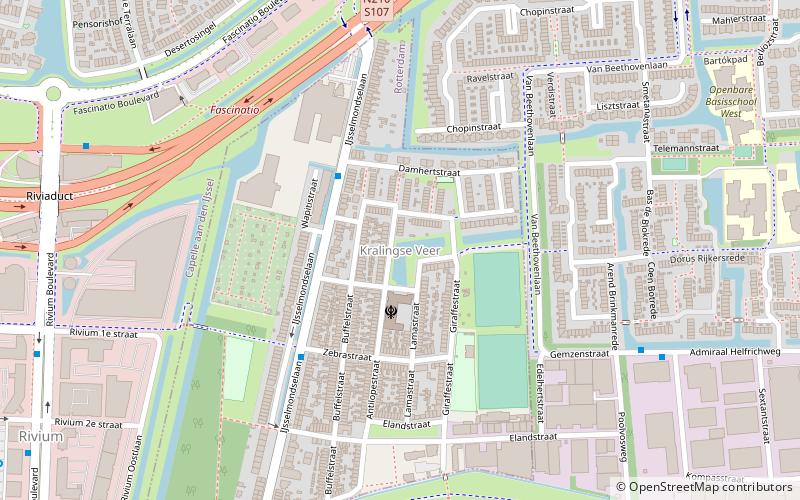
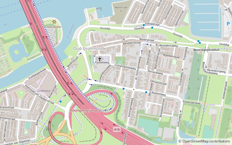
Map
Facts and practical information
Kralingseveer is a neighborhood of Rotterdam, Netherlands. ()
Address
Prins Alexander (Kralingse Veer)Rotterdam
ContactAdd
Social media
Add
Getting there by public transportation
Public transportation stops near this location
- Metro
- Bus
- Tram
- Ferry
 Metro
Metro
- Calculate routeDamhertstraat 3 min walk
- Calculate routeIJsselmondselaan 4 min walk
- Calculate routeAdmiraal Helfrichweg 7 min walk
- Calculate routeIJsselwerf 7 min walk
- Calculate routeCapelsebrug 15 min walk
- Calculate routeKralingse Zoom 27 min walk
- Calculate routeSlotlaan 38 min walk
- Calculate routeKrimpen aan den IJssel, Stormpolder 28 min walk
- Calculate routeBeverwaardseweg 32 min walk
- Calculate routeLimbrichthoek 35 min walk
Day trips


Frequently Asked Questions (FAQ)
Which popular attractions are close to Kralingseveer?
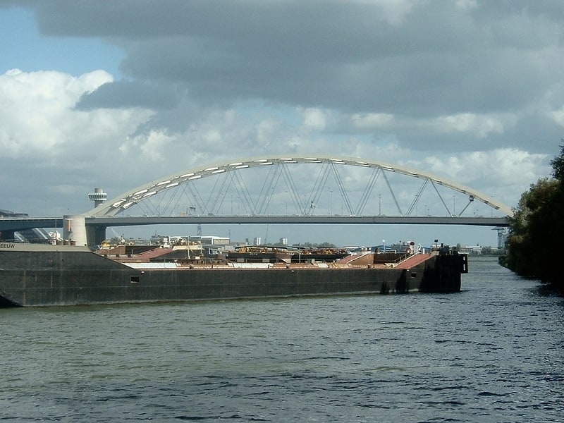
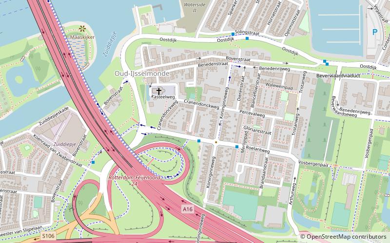
Nearby attractions include Oud-IJsselmonde, Rotterdam (23 min walk), Van Brienenoord Bridge, Rotterdam (23 min walk).
How to get to Kralingseveer by public transport?
The nearest stations to Kralingseveer:
Bus
Metro
Ferry
Tram
Bus
- Damhertstraat • Lines: 607 (3 min walk)
- IJsselmondselaan • Lines: 607 (4 min walk)
Metro
- Capelsebrug • Lines: A, B, C (15 min walk)
- Kralingse Zoom • Lines: A, B, C (27 min walk)
Ferry
- Krimpen aan den IJssel, Stormpolder • Lines: 20, 201 (28 min walk)
Tram
- Beverwaardseweg • Lines: 23 (32 min walk)
- Limbrichthoek • Lines: 23 (35 min walk)