Kanaleneiland, Utrecht
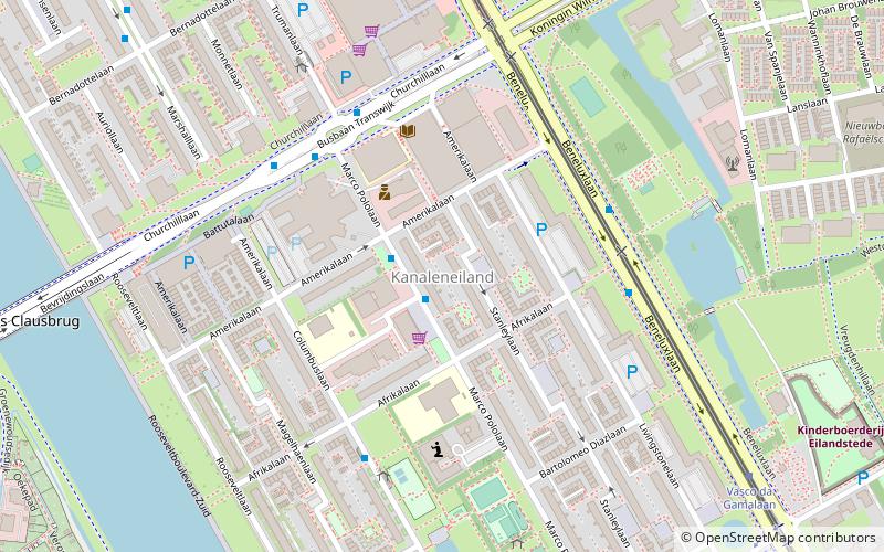
Map
Facts and practical information
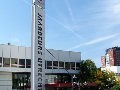
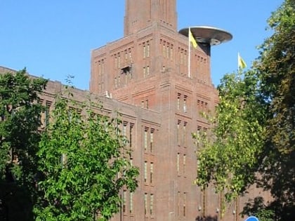
Kanaleneiland is a district within the Southwest section of the Dutch city of Utrecht. It was listed as one of 40 "problem neighborhoods" that required extra attention by the Dutch Ministry of Housing. ()
Day trips
Kanaleneiland – popular in the area (distance from the attraction)
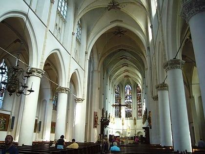
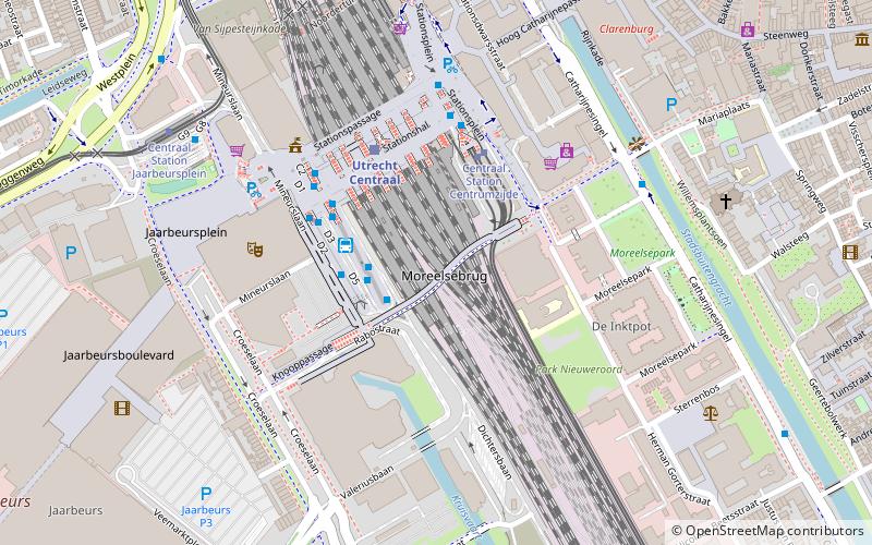
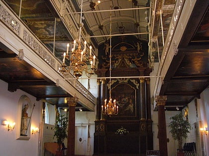
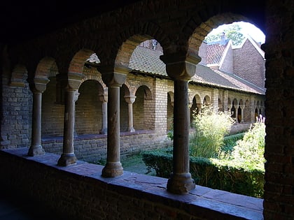
Nearby attractions include: Museum Catharijneconvent, Vaartse Rijn, St Catherine's Cathedral, Moreelsebrug.
Frequently Asked Questions (FAQ)
How to get to Kanaleneiland by public transport?
The nearest stations to Kanaleneiland:
Bus
Tram
Train
Bus
- Marco Pololaan • Lines: 7 (1 min walk)
- Afrikalaan • Lines: 10 (4 min walk)
Tram
- Winkelcentrum Kanaleneiland • Lines: 60, 61 (7 min walk)
- Vasco da Gamalaan • Lines: 60, 61 (11 min walk)
Train
- Utrecht Vaartsche Rijn (31 min walk)


