Landelijk Noord, Amsterdam
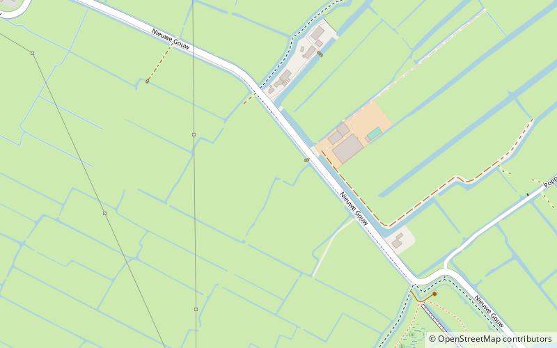
Map
Facts and practical information
Landelijk Noord is a neighborhood of Amsterdam, Netherlands. ()
Address
Stadsdeel Noord (Waterland)Amsterdam
ContactAdd
Social media
Add
Getting there by public transportation
Public transportation stops near this location
- Bus
 Bus
Bus
- Calculate routeDijkmanshuizenstraat 24 min walk
- Calculate routeVolendammerweg 25 min walk
- Calculate routeBeemsterstraat 26 min walk
Maps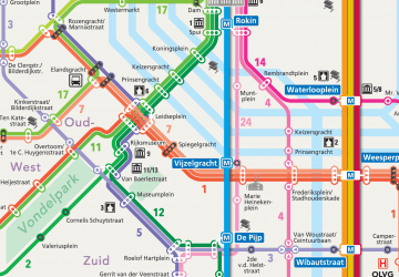 Metro / Trams
Metro / TramsDay trips


Frequently Asked Questions (FAQ)
How to get to Landelijk Noord by public transport?
The nearest stations to Landelijk Noord:
Bus
Bus
- Dijkmanshuizenstraat • Lines: 245, 37, N91 (24 min walk)
- Volendammerweg • Lines: 245, 37, N91 (25 min walk)