Schellingwoude, Amsterdam
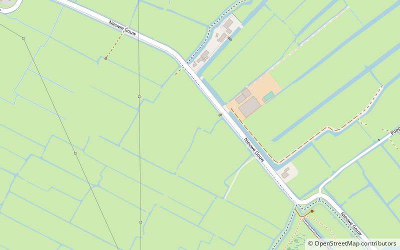
Map

Gallery

Facts and practical information
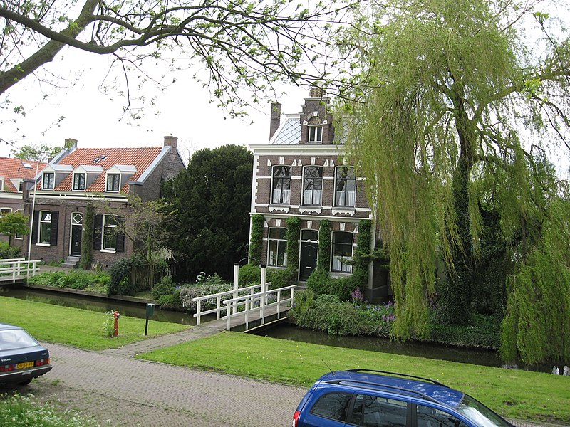
Schellingwoude is a neighbourhood of Amsterdam, Netherlands. A former village located on the northern shore of the IJ, in the province of North Holland, it was a separate municipality between 1817 and 1857, when it was merged with Ransdorp; the latter merged with Amsterdam in 1921. Nowadays it is part of the Amsterdam-Noord borough and the Landelijk Noord district. ()
Address
Stadsdeel Noord (Waterland)Amsterdam
ContactAdd
Social media
Add
Day trips
Schellingwoude – popular in the area (distance from the attraction)
Nearby attractions include: Press Museum, Python Bridge, Scheepstimmermanstraat, Cruquiuseiland.
Frequently Asked Questions (FAQ)
Which popular attractions are close to Schellingwoude?
Nearby attractions include Zeeburgereiland, Amsterdam (22 min walk), Piet Hein Tunnel, Amsterdam (23 min walk).
How to get to Schellingwoude by public transport?
The nearest stations to Schellingwoude:
Bus
Tram
Bus
- Volkstuin • Lines: 245, 37 (6 min walk)
- Liergouw • Lines: 245, 37 (6 min walk)
Tram
- Zuiderzeeweg • Lines: 26 (23 min walk)
- Bob Haarmslaan • Lines: 26 (27 min walk)

 Metro / Trams


