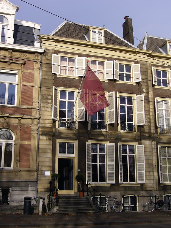
Benoordenhout, The Hague
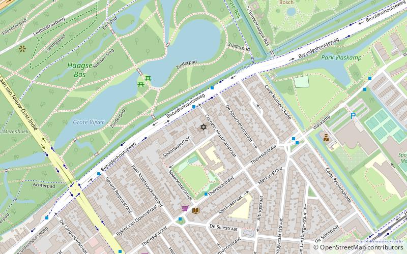
Map
Facts and practical information
Benoordenhout is a neighbourhood in the Haagse Hout district of The Hague. In addition to Benoordenhout, Haagse Hout consists of the Bezuidenhout, Mariahoeve en Marlot, and Haagse Bos neighbourhoods. ()
Address
The Hague
ContactAdd
Social media
Add
Getting there by public transportation
Public transportation stops near this location
- Bus
- Tram
 Bus
Bus
- Calculate routeRuychrocklaan 5 min walk
- Calculate routeWassenaarseweg 6 min walk
- Calculate routeVan Hoytemastraat 10 min walk
- Calculate routeRiouwstraat 21 min walk
- Calculate routeLaan Copes van Cattenburch 21 min walk
- Calculate routeJavabrug 23 min walk
- Calculate routeDoctor Kuyperstraat 25 min walk
Day trips


Frequently Asked Questions (FAQ)
Which popular attractions are close to Benoordenhout?
Nearby attractions include Neuhuyskade, The Hague (16 min walk), Huis ten Bosch, The Hague (23 min walk), Nederlands Israëlitische Gemeente Den Haag, The Hague (24 min walk).
How to get to Benoordenhout by public transport?
The nearest stations to Benoordenhout:
Bus
Tram
Bus
- Ruychrocklaan • Lines: 23, 29 (5 min walk)
- Wassenaarseweg • Lines: 23, 29 (6 min walk)
Tram
- Riouwstraat • Lines: 9 (21 min walk)
- Laan Copes van Cattenburch • Lines: 9 (21 min walk)