Kijkduin, The Hague
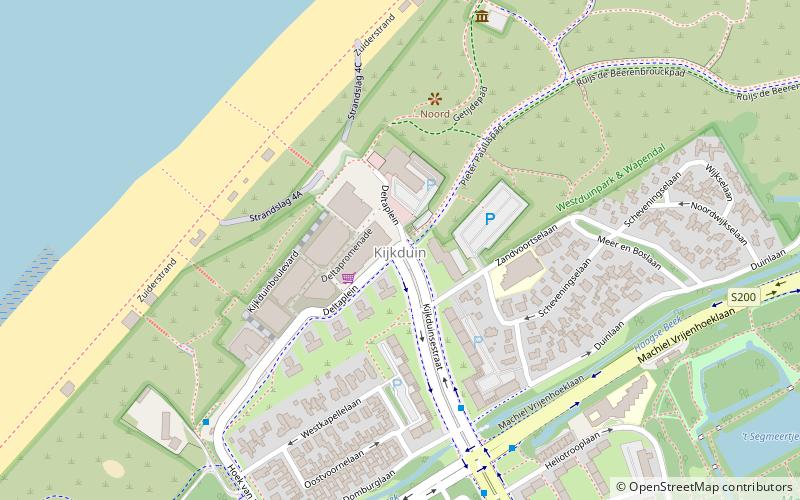
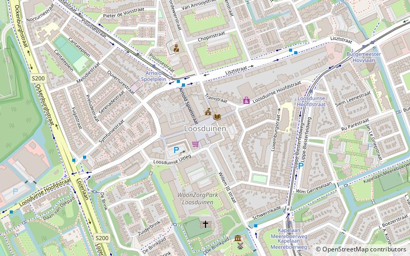
Map
Facts and practical information
Kijkduin en Ockenburgh is a Dutch subdistrict of the Loosduinen district in The Hague. The subdistrict is located in the western part of The Hague at the municipal border of Monster. The area is bordered by the North Sea, an imaginary line between beach pole 105 and the De Savornin Lohmanlaan, the Machiel Vrijenhoeklaan, the Duinlaan, the Kijkduinsestraat, the Ockenburghstraat, the Loosduinse Hoofdstraat, the Monsterseweg and the municipal border with Monster. As the name suggests, the subdistrict consists of two neighborhoods Kijkduin and Ockenburgh. ()
Address
Kijkduin en Ockenburgh (Kijkduin)The Hague
ContactAdd
Social media
Add
Getting there by public transportation
Public transportation stops near this location
- Bus
- Tram
 Bus
Bus
- Calculate routeKijkduinsestraat 6 min walk
- Calculate routeMuurbloemweg 11 min walk
- Calculate routeTeunisbloemplein 11 min walk
- Calculate routeHeliotrooplaan 15 min walk
- Calculate routeMuurbloemweg 16 min walk
- Calculate routeMozartlaan 18 min walk
- Calculate routeHoefbladlaan 20 min walk
Day trips


Frequently Asked Questions (FAQ)
How to get to Kijkduin by public transport?
The nearest stations to Kijkduin:
Bus
Tram
Bus
- Kijkduinsestraat • Lines: 23, 24, 26 (6 min walk)
- Muurbloemweg • Lines: 23, 24 (11 min walk)
Tram
- Heliotrooplaan • Lines: 3 (15 min walk)
- Muurbloemweg • Lines: 3 (16 min walk)