Loosduinen, The Hague
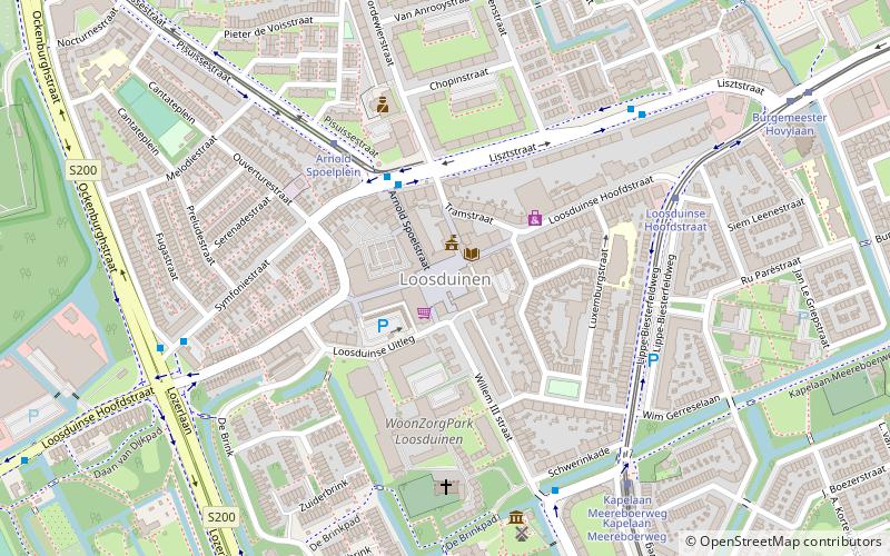
Map
Facts and practical information
Loosduinen is a former village in the Netherlands that was a municipality unto itself until 1923, when it was annexed by The Hague and subsequently became a district of the city. ()
Address
Loosduinen (Kom Loosduinen)The Hague
ContactAdd
Social media
Add
Getting there by public transportation
Public transportation stops near this location
- Bus
- Tram
 Bus
Bus
- Calculate routeArnold Spoelplein 3 min walk
- Calculate routeLouis Armstrongplein 6 min walk
- Calculate routeOckenburghstraat 6 min walk
- Calculate routeArnold Spoelplein 4 min walk
- Calculate routeLoosduinse Hoofdstraat 5 min walk
- Calculate routeKapelaan Meereboerweg 6 min walk
- Calculate routeKraayensteinlaan 8 min walk
Day trips

Frequently Asked Questions (FAQ)
How to get to Loosduinen by public transport?
The nearest stations to Loosduinen:
Bus
Tram
Bus
- Arnold Spoelplein • Lines: 26, 31 (3 min walk)
- Louis Armstrongplein • Lines: 26, 31 (6 min walk)
Tram
- Arnold Spoelplein • Lines: 3 (4 min walk)
- Loosduinse Hoofdstraat • Lines: 2 (5 min walk)