Overtoomse Veld, Amsterdam
Map
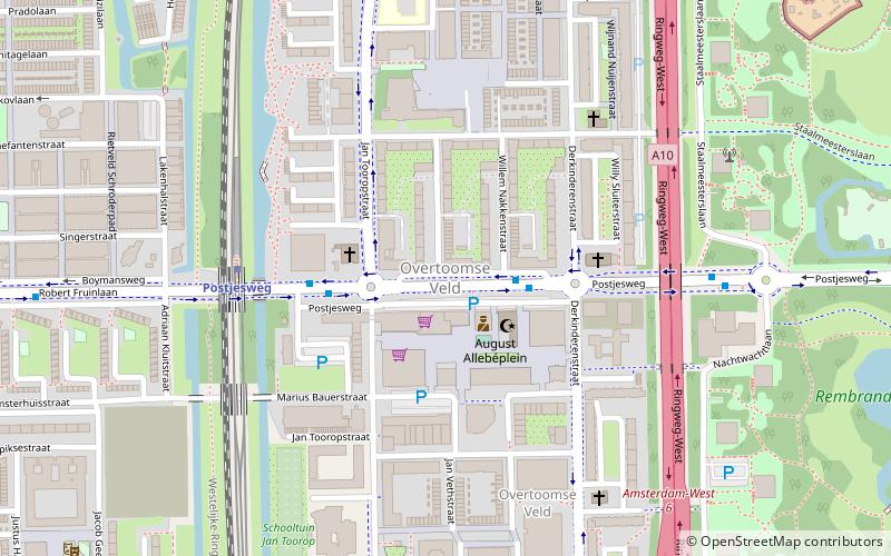
Map

Facts and practical information
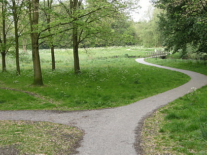
Overtoomse Veld is a neighborhood of Amsterdam, Netherlands. It is named for the Overtoomse Sluis, which was an old portage point dating from the 14th century on a major cargo route to and from Amsterdam at the junction of two waterschap areas, Hoogheemraadschap van Rijnland and Hoogheemraadschap van Amstelland. ()
Address
Stadsdeel Nieuw-West (Overtoomse Veld)Amsterdam
ContactAdd
Social media
Add
Day trips
Overtoomse Veld – popular in the area (distance from the attraction)
Nearby attractions include: Vondelpark, Rembrandtpark, Mountain Network Amsterdam, Monument Indië-Nederland.
Frequently Asked Questions (FAQ)
Which popular attractions are close to Overtoomse Veld?
Nearby attractions include Oostoever, Amsterdam (9 min walk), Rembrandtpark, Amsterdam (12 min walk), Slotervaart, Amsterdam (12 min walk), Admiralenbuurt, Amsterdam (19 min walk).
How to get to Overtoomse Veld by public transport?
The nearest stations to Overtoomse Veld:
Bus
Metro
Tram
Bus
- Derkinderenstraat • Lines: 18, N83 (2 min walk)
- Jan Tooropstraat • Lines: 18, N83 (3 min walk)
Metro
- Postjesweg • Lines: 50, 51 (5 min walk)
- Lelylaan • Lines: 50, 51 (12 min walk)
Tram
- Jan Voermanstraat • Lines: 13 (10 min walk)
- Derkinderenstraat • Lines: 1, 17 (12 min walk)

 Metro / Trams
