Rembrandt Tower, Amsterdam

Gallery (3)
Map


Map
Gallery
Facts and practical information
Rembrandt Tower is an office skyscraper in Amsterdam. It has a height of 135 metres, 36 floors and it has a spire which extends its height to 150 metres. It was constructed from 1991 to 1994. The building's foundation required piles 56 metres long and two metres in diameter. It is the first building in the Netherlands constructed with a concrete core and a steel frame. ()
Local name: Rembrandttoren Completed: 1994 (31 years ago)Area: 7.41 acres (0.0116 mi²)Architectural style: ModernFloors: 36Coordinates: 52°20'40"N, 4°55'0"E
Address
Stadsdeel Zuid (Rijnbuurt)Amsterdam
ContactAdd
Social media
Add
Getting there by public transportation
Public transportation stops near this location
- Metro
- Bus
- Tram
- Train
 Metro
Metro
- Calculate routeAmstelstation 5 min walk
- Calculate routeSpaklerweg 9 min walk
- Calculate routeWibautstraat 19 min walk
- Calculate routeAmstelstation 5 min walk
- Calculate routeH.J.E. Wenckebachweg 7 min walk
- Calculate routePrins Bernhardplein 8 min walk
- Calculate routeAmsteldijk 8 min walk
- Calculate routeAmstelstation 6 min walk
- Calculate routeAmsteldijk 8 min walk
- Calculate routeVictorieplein 13 min walk
- Calculate routeAmstelkade 16 min walk
- Calculate routeAmsterdam RAI 32 min walk
- Calculate routeAmsterdam Muiderpoort 33 min walk
- Calculate routeAmsteltrein 34 min walk
Maps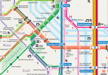 Metro / Trams
Metro / TramsDay trips


Frequently Asked Questions (FAQ)
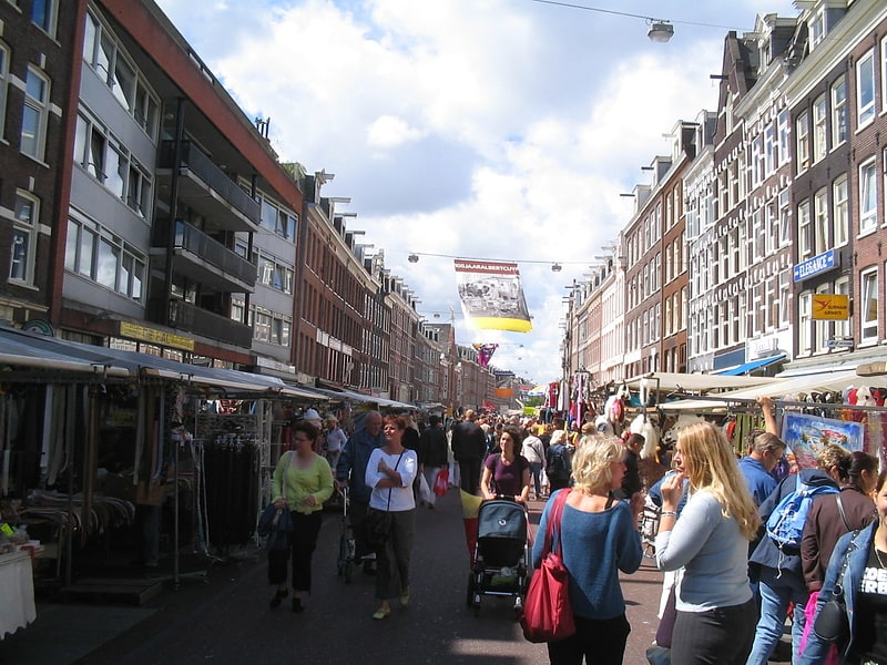
Which popular attractions are close to Rembrandt Tower?
Nearby attractions include Omval, Amsterdam (3 min walk), Stadshaven Amstelkwartier, Amsterdam (5 min walk), Berlagebrug, Amsterdam (7 min walk), Amsteldorp, Amsterdam (11 min walk).
How to get to Rembrandt Tower by public transport?
The nearest stations to Rembrandt Tower:
Metro
Bus
Tram
Train
Metro
- Amstelstation • Lines: 51, 53, 54 (5 min walk)
- Spaklerweg • Lines: 51, 53, 54 (9 min walk)
Bus
- Amstelstation • Lines: 240, 245, 322, 327, 37, 40, 62, N22, N85 (5 min walk)
- H.J.E. Wenckebachweg • Lines: N85 (7 min walk)
Tram
- Amstelstation • Lines: 12 (6 min walk)
- Amsteldijk • Lines: 12 (8 min walk)
Train
- Amsterdam RAI (32 min walk)
- Amsterdam Muiderpoort (33 min walk)