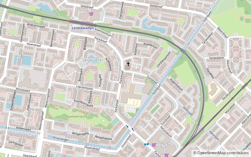
Zegwaart, Zoetermeer
Map
Facts and practical information
Zegwaart was a village in the Dutch province of South Holland. It was located directly to the east of Zoetermeer. Around 1978 a division of Zoetermeer was named after the old village and got the name Seghwaert. ()
Address
Seghwaert (Seghwaert-Zuidwest)Zoetermeer
ContactAdd
Social media
Add
Getting there by public transportation
Public transportation stops near this location
- Bus
- Tram
 Bus
Bus
- Calculate routeLeidsewallen 6 min walk
- Calculate routeSeghwaert 8 min walk
- Calculate routePalenstein 14 min walk
- Calculate routeDe Leyens 22 min walk
- Calculate routeAlkemenehof 12 min walk
- Calculate routeLommerbaan 12 min walk
- Calculate routeVaartdreef 13 min walk
- Calculate routeLange Land Ziekenhuis 15 min walk
Day trips


Frequently Asked Questions (FAQ)
How to get to Zegwaart by public transport?
The nearest stations to Zegwaart:
Tram
Bus
Tram
- Leidsewallen • Lines: 3 (6 min walk)
- Seghwaert • Lines: 3, 34, 4 (8 min walk)
Bus
- Alkemenehof • Lines: 70 (12 min walk)
- Lommerbaan • Lines: 70 (12 min walk)