Arthur's Pass, Arthur's Pass National Park
Map
Map

Facts and practical information
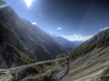
Arthur's Pass, a mountain pass in the Southern Alps of the South Island of New Zealand, marks part of the boundary between the West Coast and Canterbury regions. Located 140 km from Christchurch and 95 km from Greymouth, the pass comprises part of a saddle between the valleys of the Otira River and of the Bealey River. Arthur's Pass lies on the border of the Selwyn and Westland districts. ()
Day trips
Arthur's Pass – popular in the area (distance from the attraction)
Nearby attractions include: Temple Basin, Avalanche Peak, Arthur's Pass, Mount Rolleston.
