Temple Basin, Arthur's Pass National Park
Gallery (2)
Map
Map
Gallery
Facts and practical information
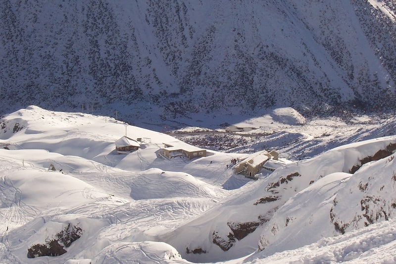
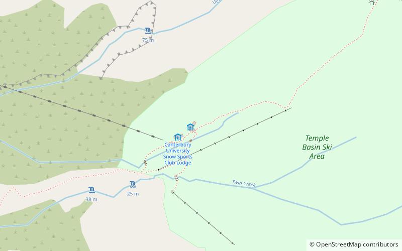
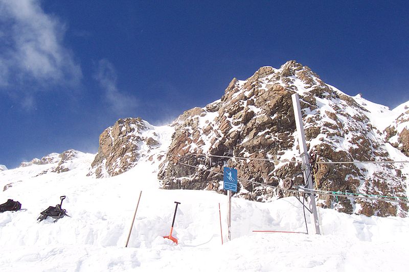
Temple Basin is a club skifield in Arthur's Pass, in New Zealand's South Island. Operated by two clubs, the Temple Basin Ski Club, and the Canterbury University Snow Sports Club, the ski area has 3 rope tows, two on-site lodges, two shelters and a ski school and ski shop. The tows cover an elevation range of 1326–1753 metres, for a skiable domain of 320 hectares. Its natural terrain has been highly recommended by adventure skiers on several occasions. ()
Coordinates: 42°54'30"S, 171°34'37"E
Day trips