Mount Franklin, Arthur's Pass National Park

Map
Facts and practical information
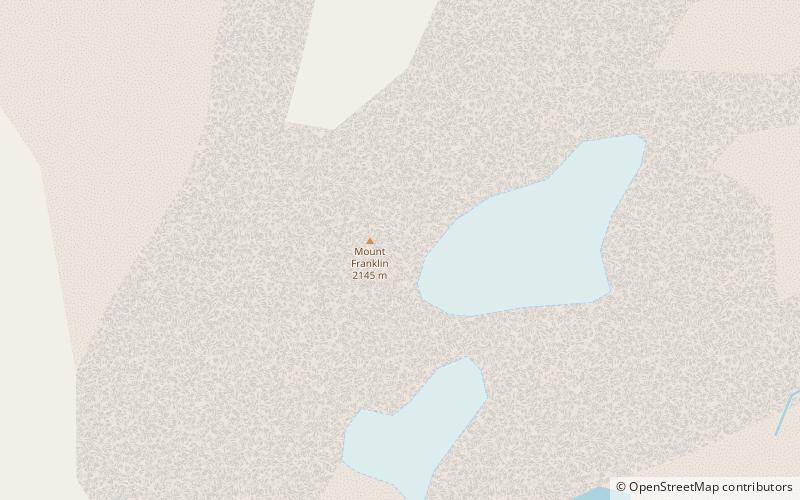
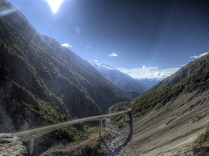
Mount Franklin is located 12 kilometres northeast of Arthur's Pass, and is the second tallest of the New Zealand mountains with this name. It forms part of the ridge of the Southern Alps. As such, it is located close to the border between the Canterbury and West Coast regions. Rising to a height of 2,145 metres, it is located within Arthur's Pass National Park. It is regarded as a good mountain to climb. ()
Coordinates: 42°52'12"S, 171°39'36"E
Address
Arthur's Pass National Park
ContactAdd
Social media
Add
Day trips
Mount Franklin – popular in the area (distance from the attraction)
Nearby attractions include: Temple Basin, Arthur's Pass, Arthur's Pass.


