Hollyford Valley, Fiordland National Park

Gallery (1)
Map
Map
Facts and practical information
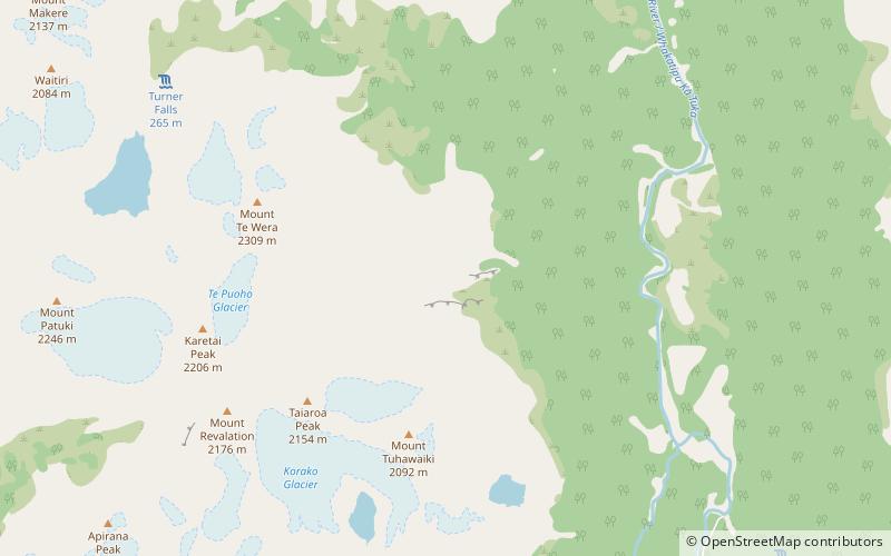
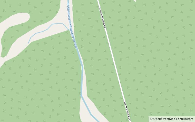
Hollyford Valley is a valley in Fiordland, New Zealand, in the southwest of the South Island. It is named for the Hollyford River, which runs north-north-west along its length from the Southern Alps to the Tasman Sea. Beech forest dominates both the slopes and the bottom of the valley. ()
Coordinates: 44°43'38"S, 168°7'44"E
Address
Fiordland National Park
ContactAdd
Social media
Add
Day trips