Lake Harris, Mount Aspiring National Park

Gallery (1)
Map
Map
Facts and practical information
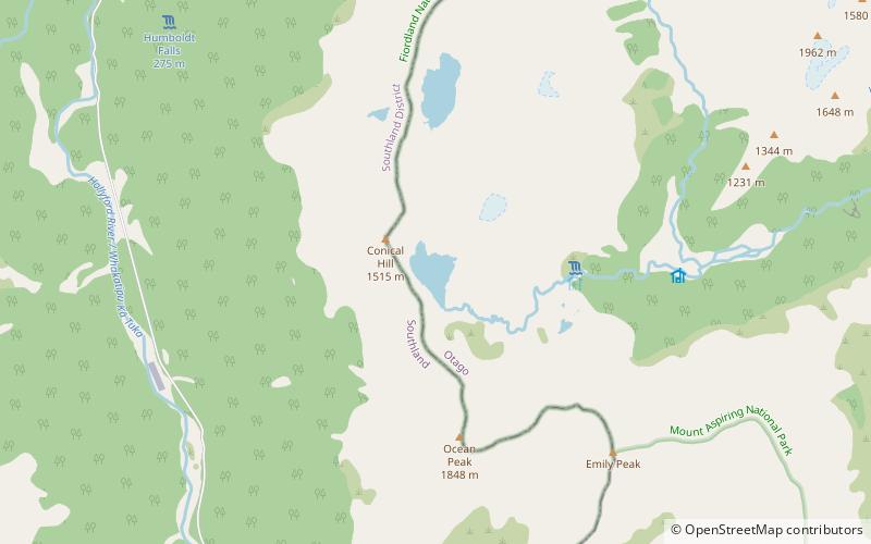
Lake Harris is a small alpine lake near the Harris Saddle on the Routeburn Track in the South Island of New Zealand. ()
Elevation: 4065 ft a.s.l.Coordinates: 44°43'31"S, 168°10'37"E
Address
Mount Aspiring National Park
ContactAdd
Social media
Add
Day trips