Trek Zone

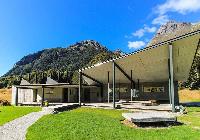
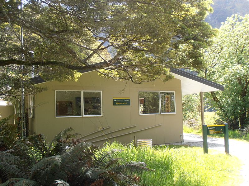
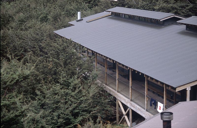
Routeburn Track, Fiordland National Park
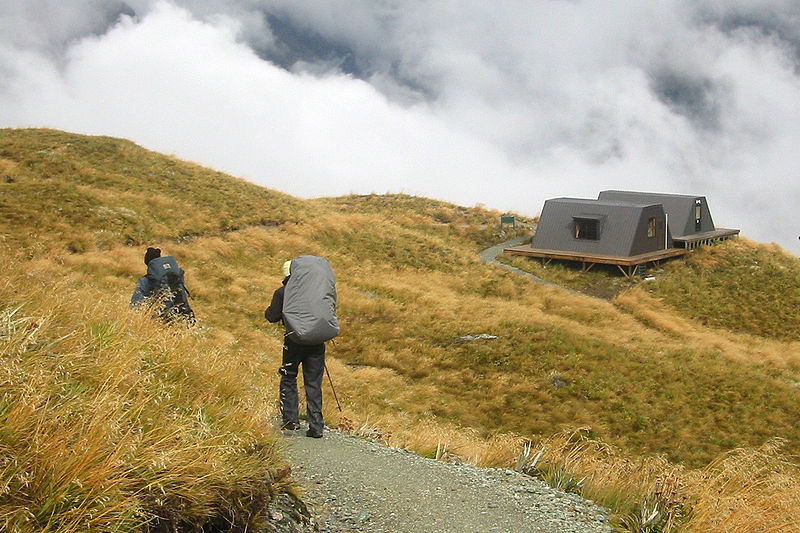
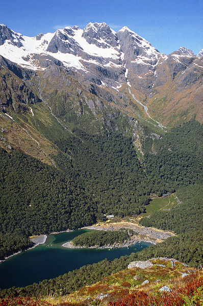
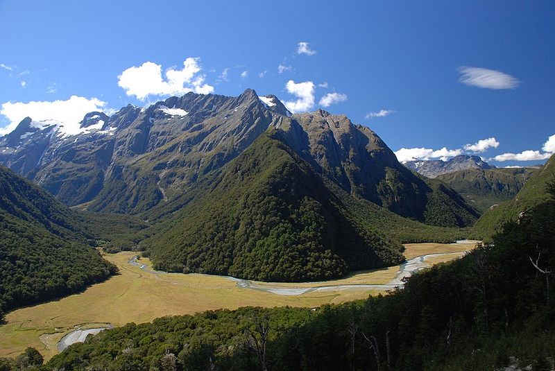
#1 among attractions in Fiordland National Park

Hiking, Hiking trail
Routeburn Track

Facts and practical information

Length: 19.88 miMaximum elevation: 4265 ftMinimal elevation: 1565 ftSeason: Summer - AutumnCoordinates: 44°43'37"S, 168°10'12"E
Address

Fiordland National Park New Zealand

Contact
Social media
Add

Fiordland National Park plan & book

Unleash the traveler in you — discover the cheapest flight deals, find the perfect hotel or hostel nearby, and search for the best car rental prices. Travel at your own pace to discover new places and enjoy your journey.

Day trips

Routeburn Track – popular in the area (distance from the attraction)

Nearby attractions include: Humboldt Falls, Lake Harris, Hollyford Track, Lake Marian.

  • humboldt falls milford sound2.7 miNW
  • lake harris mount aspiring national park~1920 ftE
  • hollyford track fiordland national park3.2 miNW
  • lake marian fiordland national park6.2 miSW
  • bridal veil falls mount aspiring national park4.2 miNE
  • hollyford valley fiordland national park2 miW
  • darran mountains location map
    6 miNW

Where to next? Visit southland Southland region page or discover the top tourist attractions in New Zealand.