Otago Harbour, Dunedin
Map
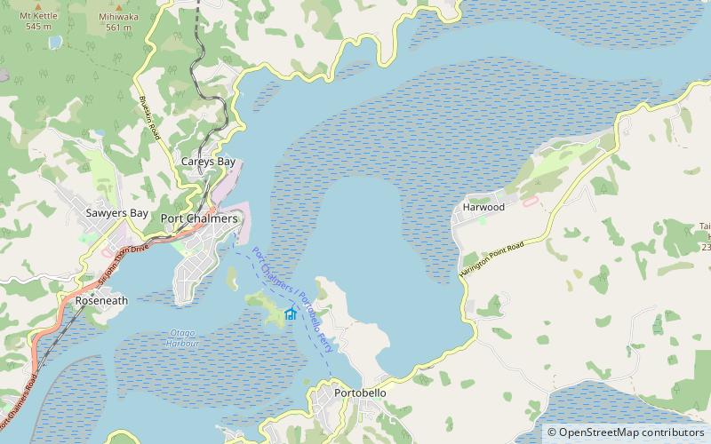
Map

Facts and practical information
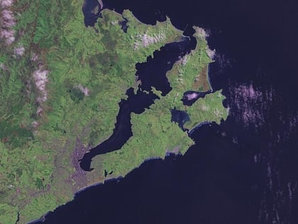
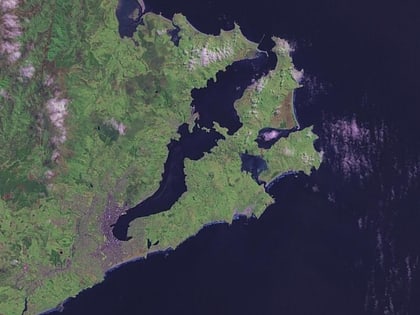
Otago Harbour is the natural harbour of Dunedin, New Zealand, consisting of a long, much-indented stretch of generally navigable water separating the Otago Peninsula from the mainland. They join at its southwest end, 21 km from the harbour mouth. It is home to Dunedin's two port facilities, Port Chalmers and at Dunedin's wharf. The harbour has been of significant economic importance for approximately 700 years, as a sheltered harbour and fishery, then deep water port. ()
Length: 13.05 miCoordinates: 45°49'0"S, 170°38'60"E
Address
Dunedin
ContactAdd
Social media
Add
Day trips
Otago Harbour – popular in the area (distance from the attraction)
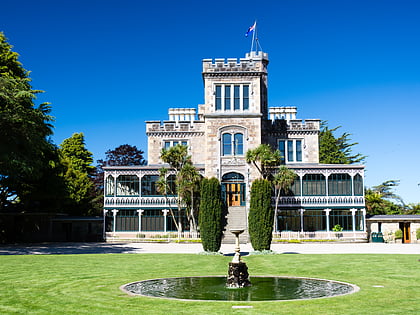
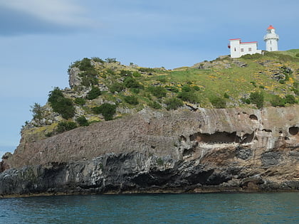
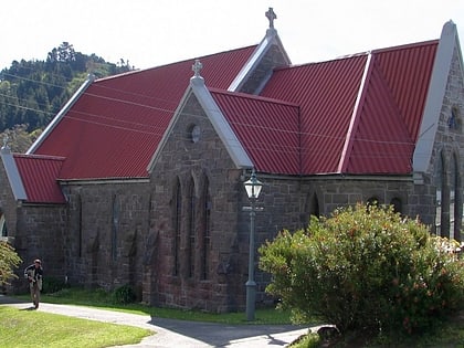
Nearby attractions include: Larnach Castle, Taiaroa Head, Mount Cargill, Holy Trinity Church.
