Onepoto Volcanic Crater, Auckland
Map
Facts and practical information
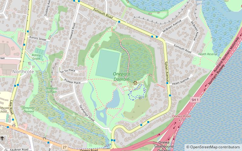
Onepoto is the name of a volcanic explosion crater in North Shore City, New Zealand. It is a part of the Auckland volcanic field. ()
Elevation: 7 ft a.s.l.Coordinates: 36°48'29"S, 174°45'4"E
Address
Exmouth RdNorth Shore (Northcote)Auckland
ContactAdd
Social media
Add
Getting there by public transportation
Public transportation stops near this location
- Bus
- Ferry
 Bus
Bus
- Calculate routeAkoranga Bus Station 24 min walk
- Calculate routeBayswater Ferry Terminal 33 min walk
Day trips


Frequently Asked Questions (FAQ)
Which popular attractions are close to Onepoto Volcanic Crater?
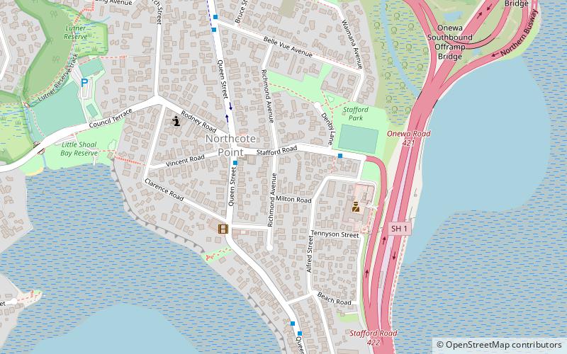
Nearby attractions include Onepoto Bridge, Auckland (8 min walk), Tank Farm, Auckland (15 min walk), Northcote, Auckland (17 min walk).
How to get to Onepoto Volcanic Crater by public transport?
The nearest stations to Onepoto Volcanic Crater:
Bus
Ferry
Bus
- Akoranga Bus Station (24 min walk)
Ferry
- Bayswater Ferry Terminal (33 min walk)