Northcote, Auckland
Map
Facts and practical information
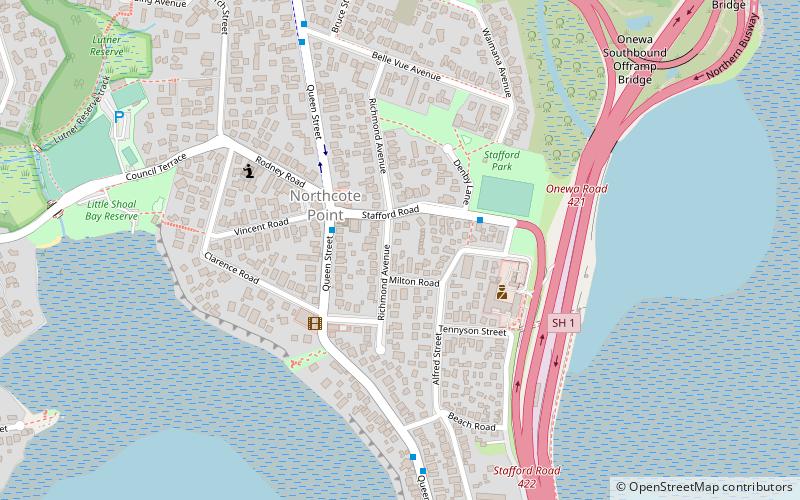
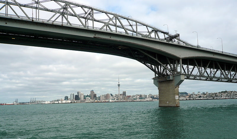
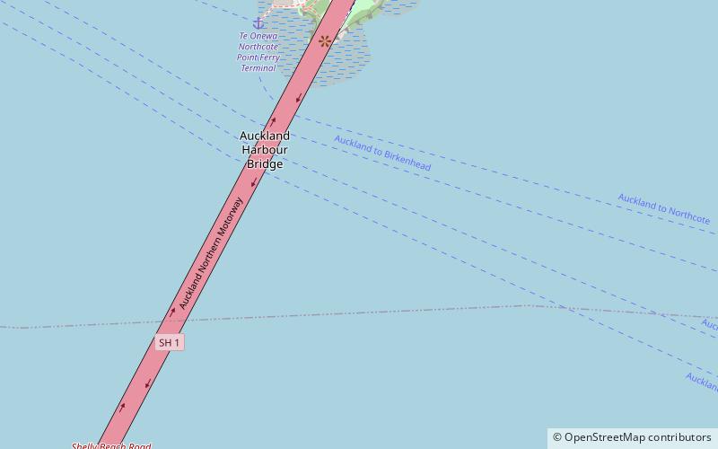
Northcote is a suburb of Auckland in northern New Zealand. It is situated on the North Shore, on the northern shores of Waitematā Harbour, four km northwest of Auckland CBD. The suburb includes the peninsula of Northcote Point and the northern approaches to the Auckland Harbour Bridge. Northcote Central is to the north of Northcote. ()
Coordinates: 36°49'0"S, 174°44'49"E
Address
North Shore (Northcote)Auckland
ContactAdd
Social media
Add
Getting there by public transportation
Public transportation stops near this location
- Ferry
 Ferry
Ferry
- Calculate routeTe Onewa Northcote Point Ferry Terminal 18 min walk
- Calculate routeBayswater Ferry Terminal 29 min walk
Day trips


Frequently Asked Questions (FAQ)
Which popular attractions are close to Northcote?
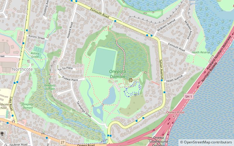
Nearby attractions include Onepoto Bridge, Auckland (10 min walk), Onepoto Volcanic Crater, Auckland (17 min walk), Le Roys Bush, Auckland (20 min walk).
How to get to Northcote by public transport?
The nearest stations to Northcote:
Ferry
Ferry
- Te Onewa Northcote Point Ferry Terminal (18 min walk)
- Bayswater Ferry Terminal (29 min walk)