Le Roys Bush, Auckland
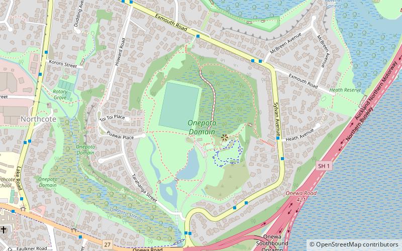
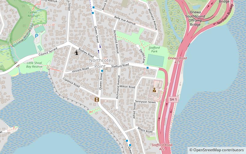
Map
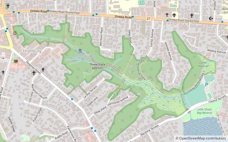
Map

Facts and practical information
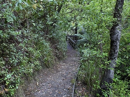
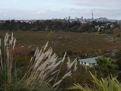
Le Roys Bush is a public reserve between Birkenhead and Northcote in Auckland, New Zealand. ()
Elevation: 79 ft a.s.l.Coordinates: 36°48'49"S, 174°44'2"E
Day trips
Le Roys Bush – popular in the area (distance from the attraction)
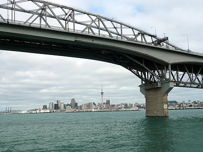
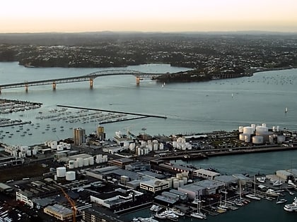
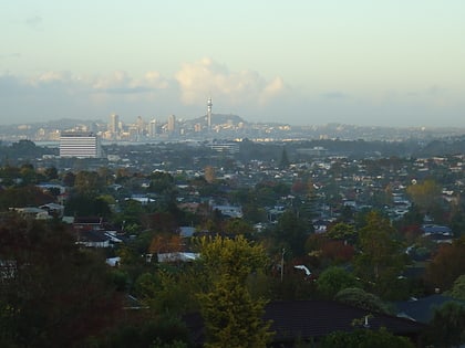
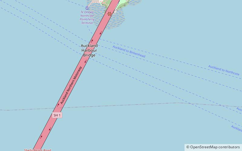
Nearby attractions include: Auckland Harbour Bridge, Tank Farm, Waitematā Harbour, Onepoto Volcanic Crater.
Frequently Asked Questions (FAQ)
Which popular attractions are close to Le Roys Bush?
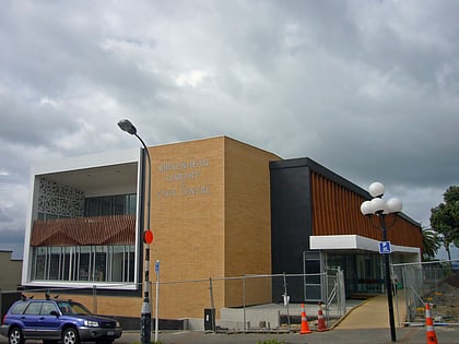
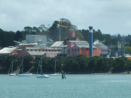
Nearby attractions include Birkenhead Public Library, Auckland (10 min walk), Northcote, Auckland (20 min walk), Chelsea Sugar Refinery, Auckland (20 min walk), Onepoto Bridge, Auckland (23 min walk).
How to get to Le Roys Bush by public transport?
The nearest stations to Le Roys Bush:
Ferry
Ferry
- Te Onewa Northcote Point Ferry Terminal (30 min walk)
