Aotea Square, Auckland
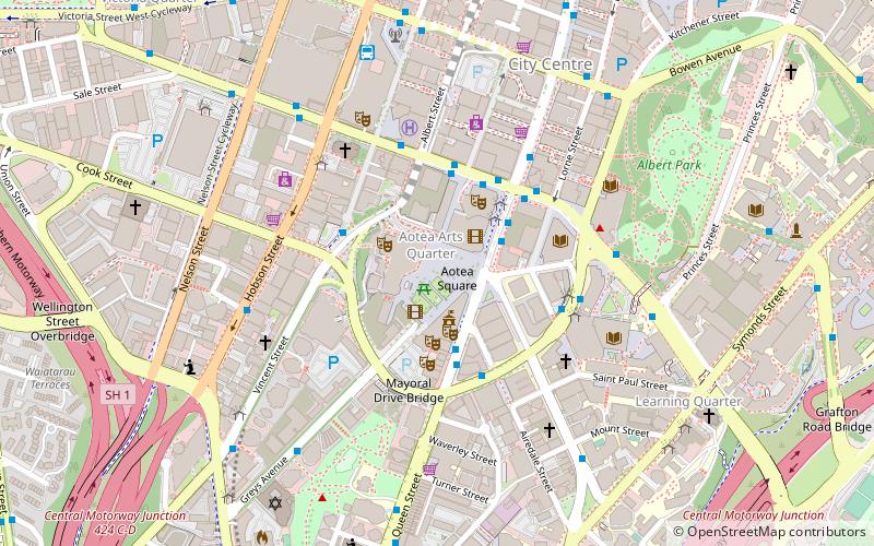
Map
Gallery
Facts and practical information
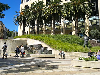
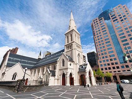
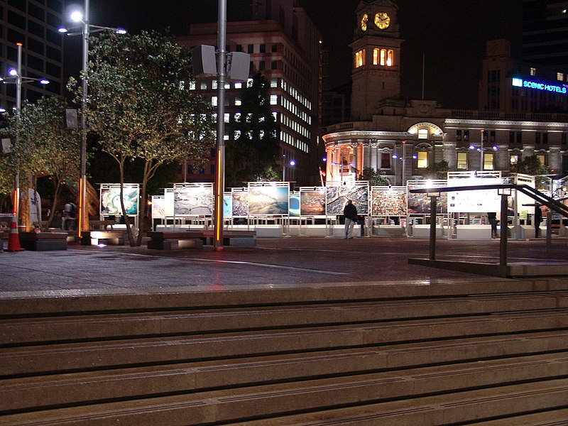
Aotea Square is a large paved public area in the CBD of Auckland, New Zealand. Officially opened in 1979 by Sir Dove-Myer Robinson next to Queen Street, it is used for open-air concerts and gatherings, and markets and political rallies. In November 2010, a major redevelopment of Aotea Square was completed. The square was redesigned to make it appropriate for use by crowds of up to 20,000 people. ()
Address
50 Mayoral DriveCentral Auckland (Auckland Central Business District)Auckland 1001
Contact
+64 9-309 2677
Social media
Add
Day trips
Aotea Square – popular in the area (distance from the attraction)
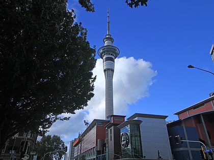
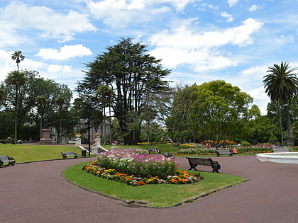
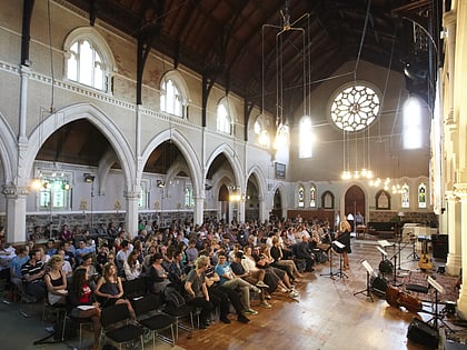
Nearby attractions include: Sky Tower, Albert Park, St Paul's Church, Auckland Art Gallery.
Frequently Asked Questions (FAQ)
Which popular attractions are close to Aotea Square?
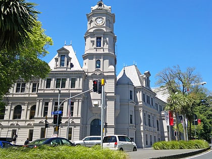
Nearby attractions include Auckland Live, Auckland (1 min walk), Auckland Town Hall, Auckland (2 min walk), Aotea Centre, Auckland (2 min walk), St. James Theatre, Auckland (3 min walk).
How to get to Aotea Square by public transport?
The nearest stations to Aotea Square:
Bus
Train
Tram
Ferry
Bus
- Wellesley B • Lines: 295 (3 min walk)
- Wellesley C • Lines: 25B, 25L, Out (4 min walk)
Train
- Britomart (16 min walk)
- Parnell (22 min walk)
Tram
- Gaunt Street • Lines: Wynyard Loop (17 min walk)
- Daldy Street • Lines: Wynyard Loop (19 min walk)
Ferry
- Downtown Pier 1 (18 min walk)
- Downtown Pier 14 (18 min walk)

