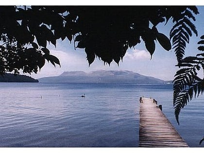
Mount Tarawera
Map
Gallery
Facts and practical information
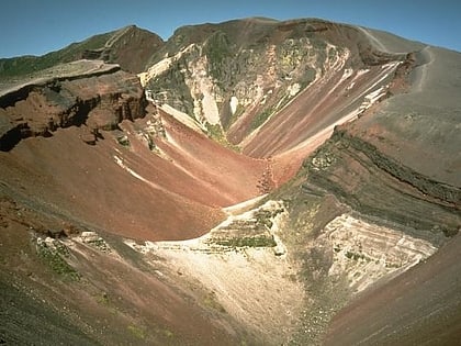
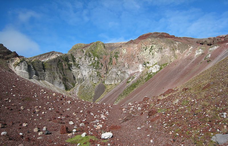
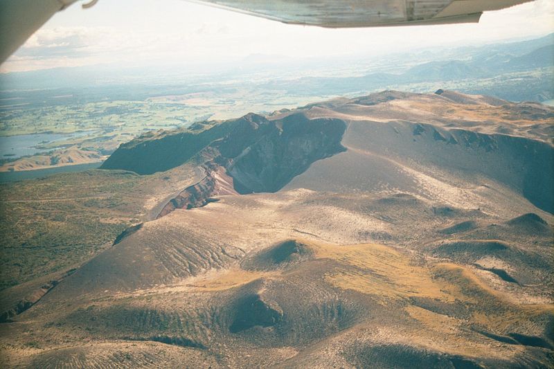
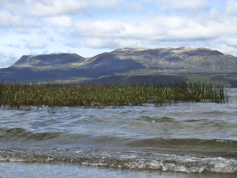
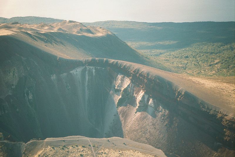
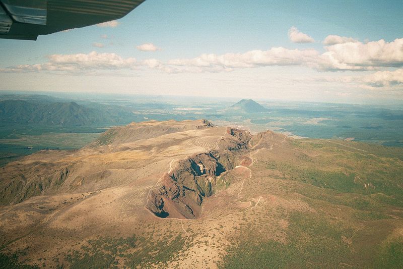
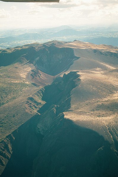
Mount Tarawera is a volcano on the North Island of New Zealand. Located 24 kilometres southeast of Rotorua, it consists of a series of rhyolitic lava domes that were fissured down the middle by an explosive basaltic eruption in 1886. This eruption was one of New Zealand's largest historical eruptions, and killed an estimated 120 people. The fissures run for about 17 kilometres northeast-southwest. ()
Location
Bay of Plenty
ContactAdd
Social media
Add
Day trips
Mount Tarawera – popular in the area (distance from the attraction)
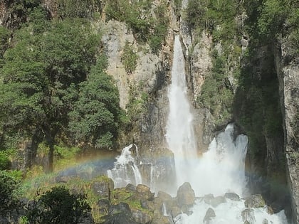
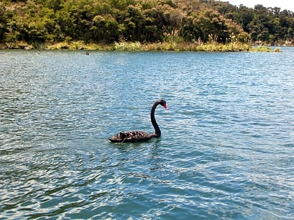
Nearby attractions include: Tarawera Falls, Lake Rotomahana, Lake Tarawera, Lake Rerewhakaaitu.
