Lake Rotomahana

Gallery (2)
Map
Map
Gallery
Facts and practical information
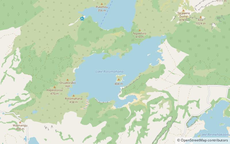
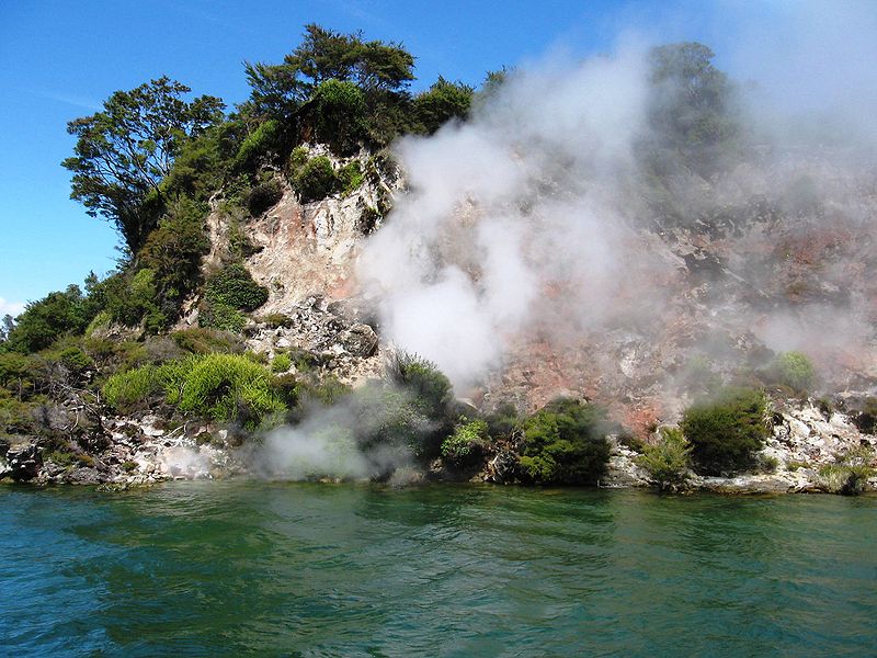
Lake Rotomahana is an 800-hectare lake in northern New Zealand, located 20 kilometres to the south-east of Rotorua. It is immediately south-west of the dormant volcano Mount Tarawera, and its geography was substantially altered by a major 1886 eruption of Mount Tarawera. Along with the mountain, it lies within the Okataina caldera. ()
Alternative names: Area: 3.09 mi²Length: 3.85 miWidth: 9186 ftMaximum depth: 369 ftElevation: 1112 ft a.s.l.Coordinates: 38°15'54"S, 176°26'35"E
Location
Bay of Plenty
ContactAdd
Social media
Add
Day trips


