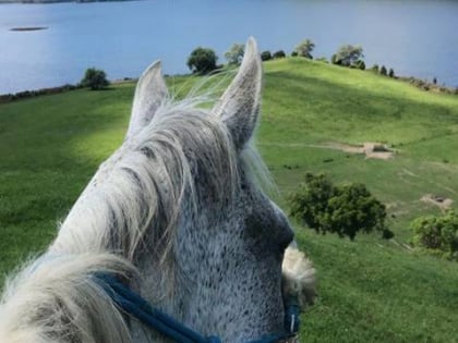
Lake Tarawera
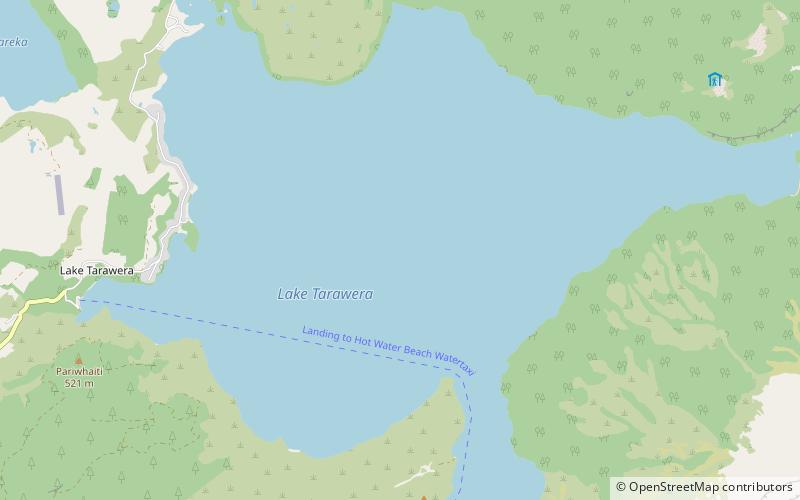
Map
Gallery
Facts and practical information
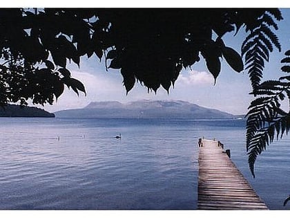
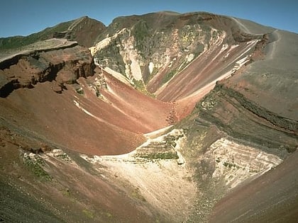
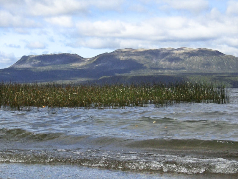
Lake Tarawera is the largest of a series of lakes which surround the volcano Mount Tarawera in the North Island of New Zealand. Like the mountain, it lies within the Okataina caldera. It is located 18 kilometres to the east of Rotorua, and beneath the peaks of the Tarawera massif i.e. Wahanga, Ruawahia, Tarawera and Koa. The lake's surface area is 39 square kilometres. ()
Alternative names: Area: 15.06 mi²Length: 7.08 miWidth: 5.59 miMaximum depth: 287 ftElevation: 988 ft a.s.l.Coordinates: 38°11'58"S, 176°25'52"E
Location
Bay of Plenty
ContactAdd
Social media
Add
Day trips
Lake Tarawera – popular in the area (distance from the attraction)
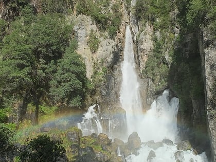
Nearby attractions include: Tarawera Falls, Lake Rotomahana, Mount Tarawera, Lake Ōkareka.
