Maungataketake
Map
Map

Facts and practical information
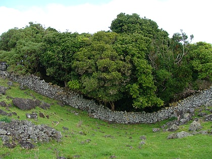
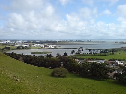
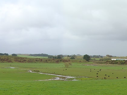
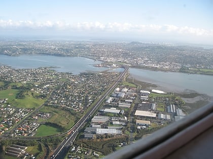
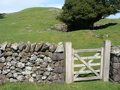
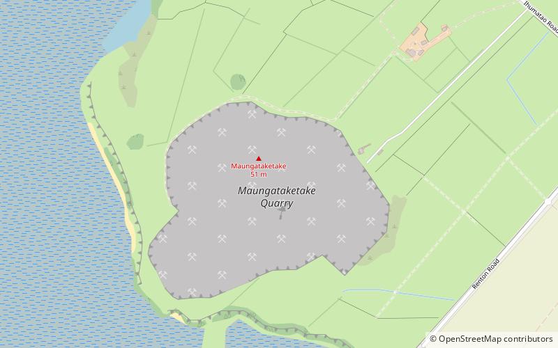
Maungataketake is one of the volcanoes in the Auckland volcanic field in New Zealand. It had a 76 m high scoria cone, beside a 100 m wide crater, before they were quarried away. It was the site of a pā. Layers of volcanic tuff and ash from Maungataketake overlay the fallen trunks of the nearby Ihumātao fossil forest. The New Zealand Ministry for Culture and Heritage gives a translation of "broad mountain" for Maungataketake. ()
Coordinates: 36°59'41"S, 174°44'53"E
Location
Auckland
ContactAdd
Social media
Add
Day trips
Maungataketake – popular in the area (distance from the attraction)
Nearby attractions include: Māngere Mountain, Butterfly Creek, Ihumātao, Statue of Jean Batten.

