Farm Cove Observatory, Auckland
Map
Facts and practical information
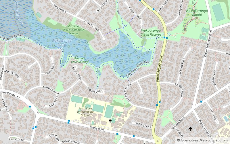
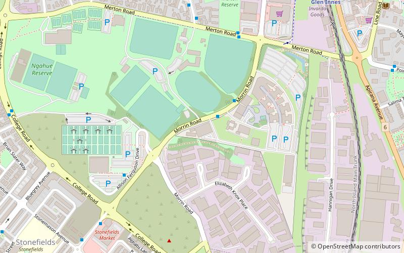
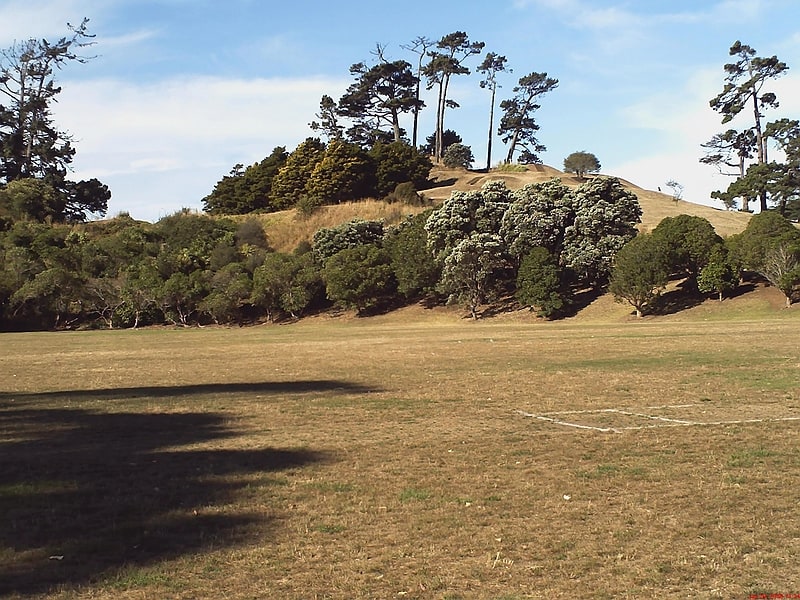
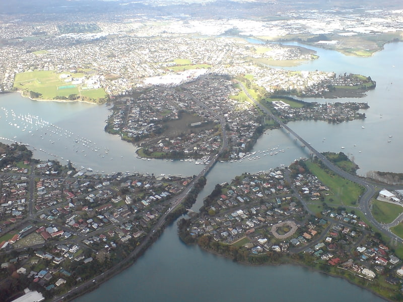
Farm Cove Observatory is an amateur astronomical observatory in Pakuranga, Auckland, New Zealand, where Jennie McCormick discovered the main-belt asteroid 386622 New Zealand in September 2009. ()
Coordinates: 36°53'37"S, 174°53'38"E
Getting there by public transportation
Public transportation stops near this location
- Ferry
 Ferry
Ferry
- Calculate routeHalf Moon Bay Passenger Ferry Terminal 25 min walk
Day trips


Frequently Asked Questions (FAQ)
Which popular attractions are close to Farm Cove Observatory?
Nearby attractions include Pigeon Mountain, Auckland (17 min walk), Bucklands Beach, Auckland (18 min walk).
How to get to Farm Cove Observatory by public transport?
The nearest stations to Farm Cove Observatory:
Ferry
Ferry
- Half Moon Bay Passenger Ferry Terminal (25 min walk)