Freemans Bay, Auckland
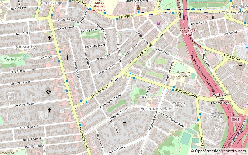
Map
Gallery
Facts and practical information
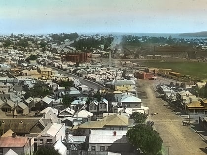
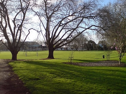
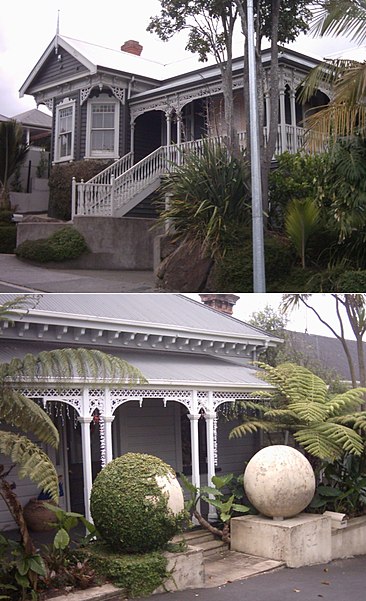
Freemans Bay is the name of a former bay and now inner city suburb of Auckland, in the North Island of New Zealand. The bay has been filled in to a considerable extent, with the reclamation area now totally concealing the ancient shoreline. Historically a poor and often disreputable quarter, it is now a comparatively wealthy and desirable neighbourhood known for its mix of heritage homes and more recent single-dwelling houses, as well as for its two large parks. ()
Coordinates: 36°51'6"S, 174°44'56"E
Address
Central Auckland (Freemans Bay)Auckland
ContactAdd
Social media
Add
Day trips
Freemans Bay – popular in the area (distance from the attraction)
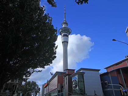
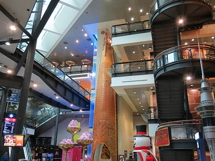
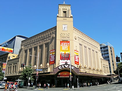
Nearby attractions include: Sky Tower, Victoria Park Market, Skycity Auckland, Civic Theatre.
Frequently Asked Questions (FAQ)
Which popular attractions are close to Freemans Bay?
Nearby attractions include Western Park, Auckland (10 min walk), Victoria Park Tunnel, Auckland (11 min walk), Leys Institute Library Ponsonby, Auckland (11 min walk), Victoria Park Viaduct, Auckland (11 min walk).
How to get to Freemans Bay by public transport?
The nearest stations to Freemans Bay:
Bus
Tram
Ferry
Train
Bus
- Pember Reeves Street • Lines: Inn (6 min walk)
- England Street • Lines: 101, Inn, Out (6 min walk)
Tram
- Daldy Street • Lines: Wynyard Loop (16 min walk)
- Gaunt Street • Lines: Wynyard Loop (17 min walk)
Ferry
- Sealink Hamer Street (26 min walk)
- Downtown Pier 14 (29 min walk)
Train
- Britomart (31 min walk)
- Grafton (39 min walk)
