Myers Park, Auckland
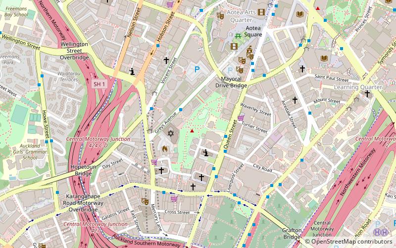
Map
Gallery
Facts and practical information
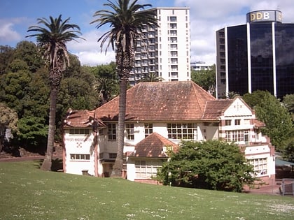
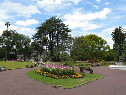
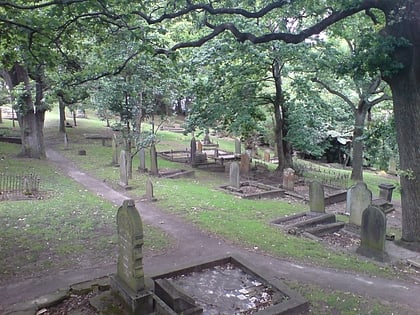
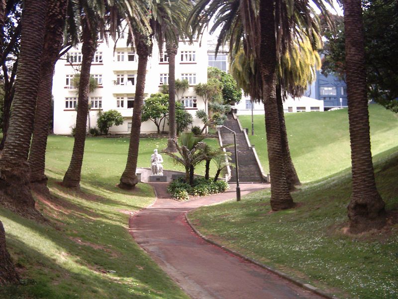
Myers Park is a narrow park in central Auckland, New Zealand, running parallel to the upper part of Queen Street. It is characterised by steep, grassed slopes and canopied with a mixture of large exotic and native trees, including an alley of large palm trees. ()
Area: 5.93 acres (0.0093 mi²)Elevation: 187 ft a.s.l.Coordinates: 36°51'20"S, 174°45'40"E
Address
Greys Ave.Central Auckland (Auckland Central Business District)Auckland 1010
ContactAdd
Social media
Day trips
Myers Park – popular in the area (distance from the attraction)
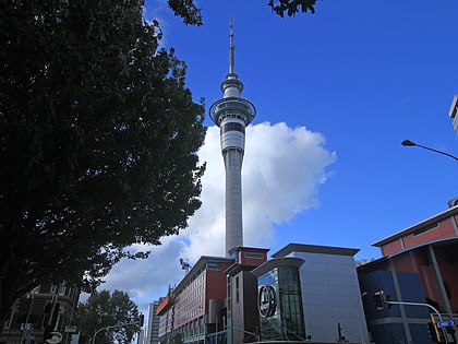
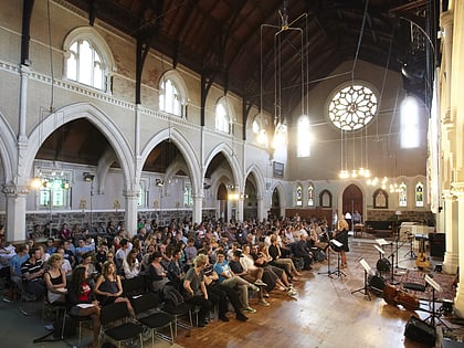
Nearby attractions include: Sky Tower, Albert Park, St Paul's Church, Auckland Art Gallery.
Frequently Asked Questions (FAQ)
Which popular attractions are close to Myers Park?
Nearby attractions include Auckland Baptist Tabernacle, Auckland (4 min walk), Karangahape Road, Auckland (5 min walk), Auckland Town Hall, Auckland (6 min walk), Mercury Theatre, Auckland (6 min walk).
How to get to Myers Park by public transport?
The nearest stations to Myers Park:
Bus
Tram
Train
Ferry
Bus
- Karangahape Road • Lines: 22R, 24B, 24R, 25B, 25L, 27H, 27W, 295, 309, 309X, 75, Cty, Sky (5 min walk)
- 7158 • Lines: 27H, 27W (8 min walk)
Tram
- Gaunt Street • Lines: Wynyard Loop (20 min walk)
- Daldy Street • Lines: Wynyard Loop (23 min walk)
Train
- Grafton (22 min walk)
- Britomart (23 min walk)
Ferry
- Downtown Pier 1 (24 min walk)
- Downtown Pier 14 (25 min walk)
