Kaikohe Hill
Map
Facts and practical information
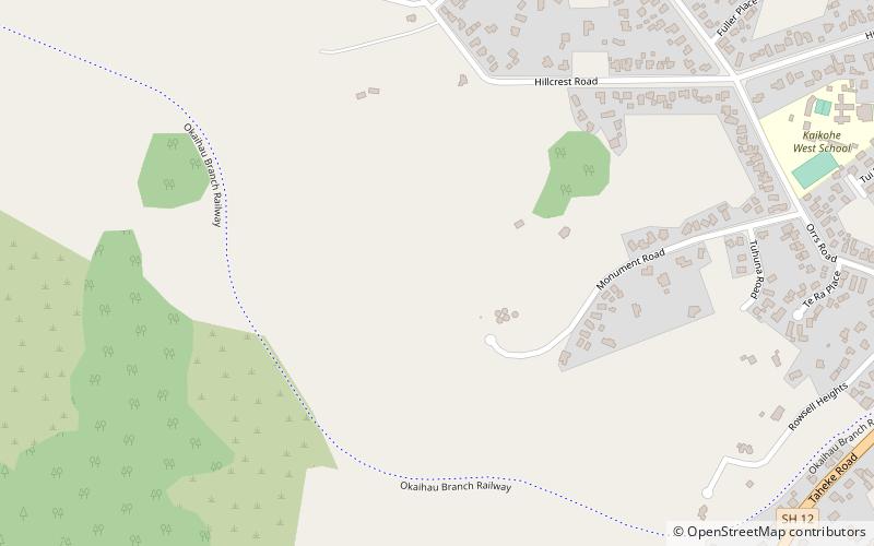
Kaikohe Hill is a 282 m high basaltic scoria cone in the Kaikohe-Bay of Islands volcanic field in New Zealand. It is on the western edge of the town of Kaikohe. ()
Elevation: 925 ftCoordinates: 35°24'33"S, 173°47'2"E
Location
Northland
ContactAdd
Social media
Add
Day trips