Te Ahuahu
#435 among destinations in New Zealand
![Te Ahuahu location map](https://tzmedia.b-cdn.net/media/images/static-maps/nz/-35_3393_173_841.jpg)
Facts and practical information
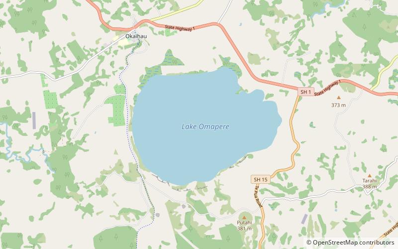
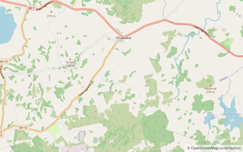
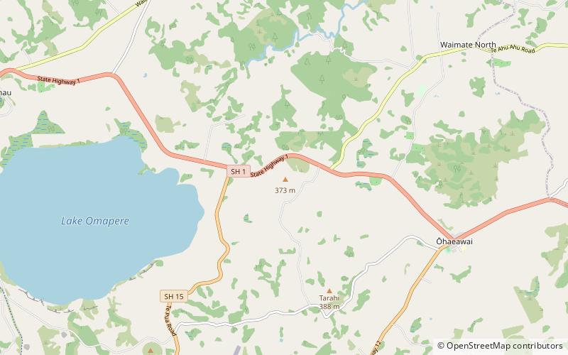
Te Ahuahu is a 373 m high basaltic scoria cone, in the Kaikohe-Bay of Islands volcanic field in New Zealand. ()
NorthlandNew Zealand
Te Ahuahu plan & book
Unleash the traveler in you — discover the cheapest flight deals, find the perfect hotel or hostel nearby, and search for the best car rental prices. Travel at your own pace to discover new places and enjoy your journey.
Te Ahuahu – popular in the area (distance from the attraction)
Nearby attractions include: Te Waimate mission, Lake Ōmāpere, Kaikohe Hill, Lake Waingaro.
2.5 miNEMuseum, Church, History museumTe Waimate mission
65 min walk • Te Waimate Mission was the fourth mission station established in New Zealand and the first settlement inland from the Bay of Islands. The members of the Church Missionary Society appointed to establish Te Waimate Mission at Waimate North were the Rev. William Yate and lay members Richard Davis, George Clarke and James Hamlin.
2.8 miWNature, Natural attraction, LakeLake Ōmāpere
71 min walk • Lake Ōmāpere is the largest lake in the Northland Region of New Zealand.
5.8 miSWNature, Natural attraction, VolcanoKaikohe Hill
148 min walk • Kaikohe Hill is a 282 m high basaltic scoria cone in the Kaikohe-Bay of Islands volcanic field in New Zealand. It is on the western edge of the town of Kaikohe.
5.9 miNNature, Natural attraction, LakeLake Waingaro
150 min walk • Lake Waingaro is a lake in the Northland Region of New Zealand. The lake is a main supply of water for the Kerikeri Town Water Supply.
3.1 miSENature, Natural attraction, VolcanoMaungaturoto Volcano
79 min walk • Maungaturoto is a 282 m high basaltic scoria cone, in the Kaikohe-Bay of Islands volcanic field in New Zealand. It was the site of a pā.
5.4 miSWTownKaikohe
138 min walk • Visitors to Kaikohe can explore the town's Maori heritage at the nearby Wairere Boulders, a sacred site that features ancient rock formations and walking trails. The boulders are believed to have been formed by the legendary Maori chief, Kupe, adding a sense of...
3.6 miNWTownŌkaihau
93 min walk • Ōkaihau is a small town in the Northland Region of New Zealand's North Island, just north of Kaikohe. State Highway 1 passes through Ōkaihau making it fairly busy. Ōkaihau has a primary school and a secondary school.
2.5 miELocalityŌhaeawai
63 min walk • Ōhaeawai is a small village at the junction of State Highway 1 and State Highway 12 in the Far North District of New Zealand, some 250 km from Auckland. The town of Kaikohe is 10.4 km to the west, and the Bay of Islands is a short drive to the east.