Ōhaeawai
Map
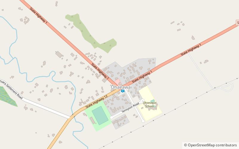
Map

Facts and practical information
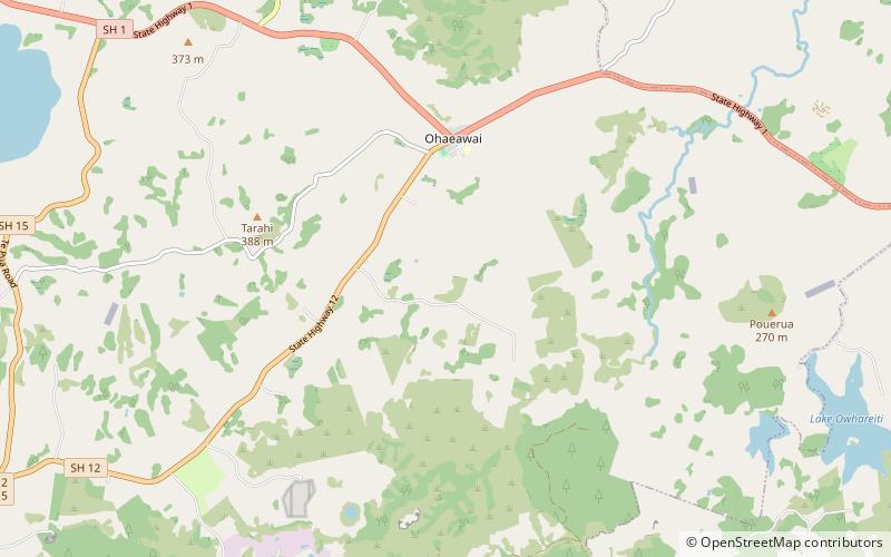
Ōhaeawai is a small village at the junction of State Highway 1 and State Highway 12 in the Far North District of New Zealand, some 250 km from Auckland. The town of Kaikohe is 10.4 km to the west, and the Bay of Islands is a short drive to the east. ()
Location
Northland
ContactAdd
Social media
Add
Day trips
Ōhaeawai – popular in the area (distance from the attraction)
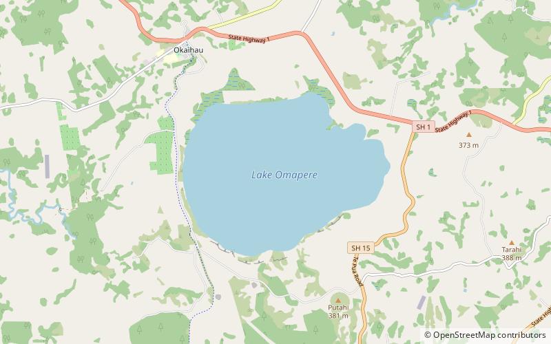
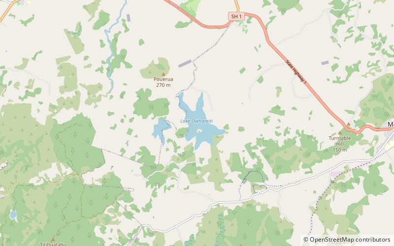
Nearby attractions include: Te Waimate mission, Lake Ōmāpere, Kaikohe Hill, Lake Ōwhareiti.


