Khartoum Place, Auckland
Map
Gallery
Facts and practical information
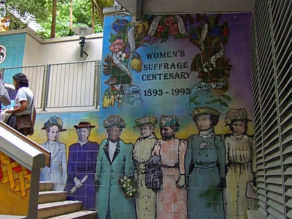
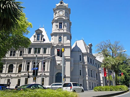
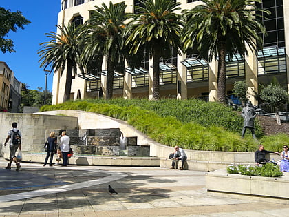
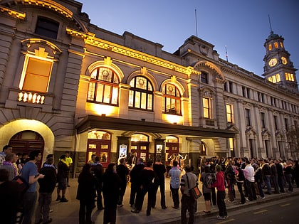
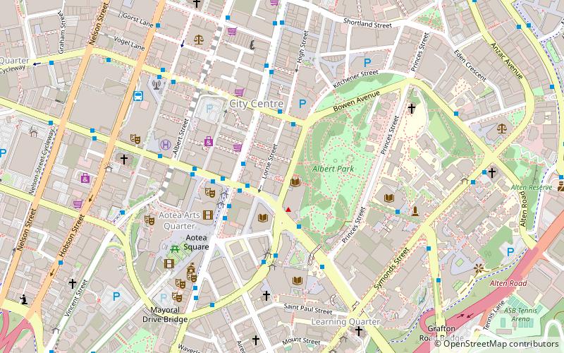
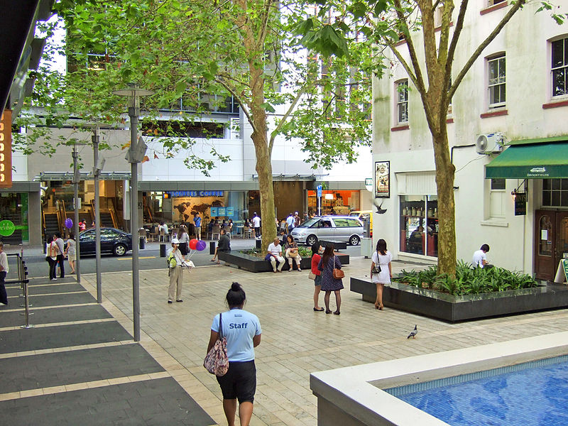
Khartoum Place is a pedestrianised city square in the Auckland CBD, New Zealand. The square, protected by several mature trees, is located between Lorne Street and Kitchener Street, and provides a stairway connection between the two street levels. ()
Coordinates: 36°51'3"S, 174°45'58"E
Day trips
Khartoum Place – popular in the area (distance from the attraction)
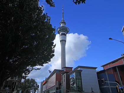
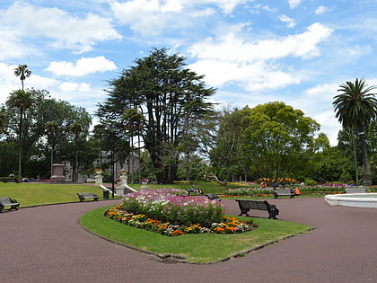
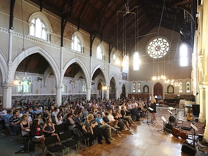
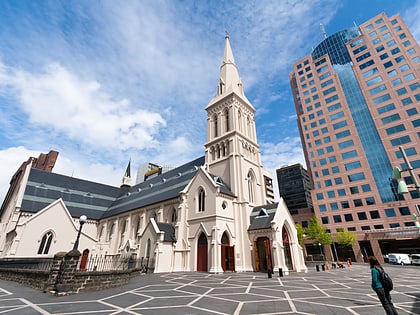
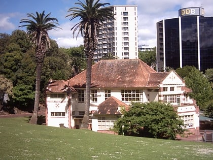
Nearby attractions include: Sky Tower, Albert Park, St Paul's Church, Auckland Art Gallery.
Frequently Asked Questions (FAQ)
Which popular attractions are close to Khartoum Place?
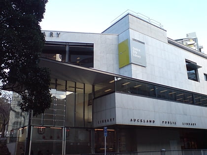
Nearby attractions include Gow Langsford Gallery, Auckland (1 min walk), Auckland Art Gallery, Auckland (2 min walk), Auckland Libraries, Auckland (3 min walk), Queen Street, Auckland (3 min walk).
How to get to Khartoum Place by public transport?
The nearest stations to Khartoum Place:
Bus
Train
Ferry
Tram
Bus
- Wellesley E • Lines: Out (2 min walk)
- Wellesley C • Lines: 25B, 25L, Out (2 min walk)
Train
- Britomart (12 min walk)
- Parnell (18 min walk)
Ferry
- Downtown Pier 1 (15 min walk)
- Downtown Pier 2 (15 min walk)
Tram
- Gaunt Street • Lines: Wynyard Loop (18 min walk)
- Halsey Street • Lines: Wynyard Loop (20 min walk)
