Wenderholm Regional Park
Map
Gallery
Facts and practical information
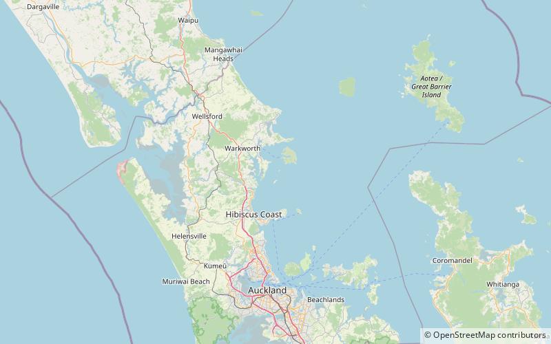
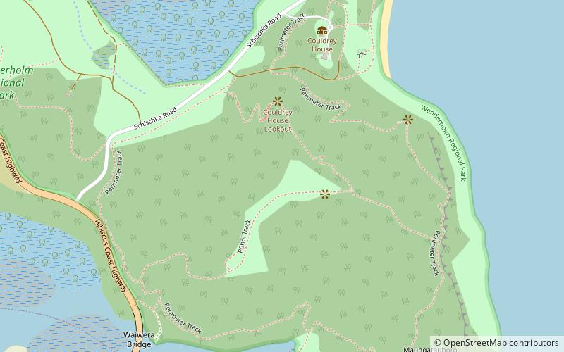
Wenderholm Regional Park is a regional park north of Auckland in New Zealand's North Island. It is situated between the estuaries of the Puhoi River and the Waiwera River, on the east coast of New Zealand's North Island and features a homestead known as Couldrey House, and a carved pouwhenua. ()
Established: 1965 (61 years ago)Elevation: 361 ft a.s.l.Coordinates: 36°32'13"S, 174°42'36"E
Day trips
Wenderholm Regional Park – popular in the area (distance from the attraction)
Nearby attractions include: Alice Eaves Scenic Reserve, Waiwera, Motuora, Puhoi.


