Motuora

Gallery (1)
Map
Map
Facts and practical information
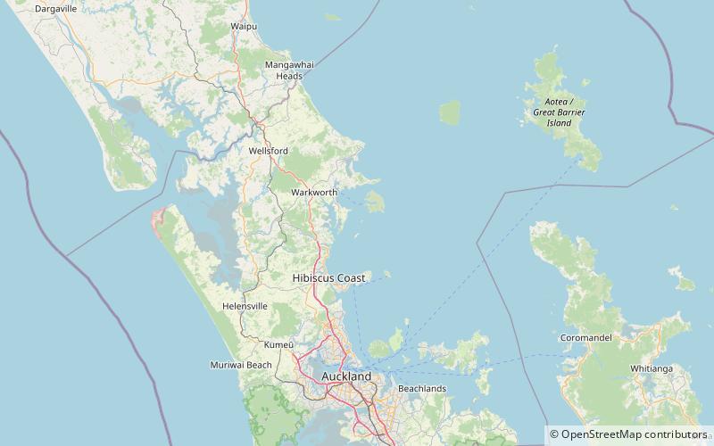
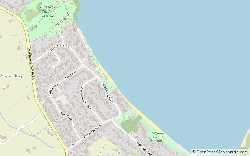
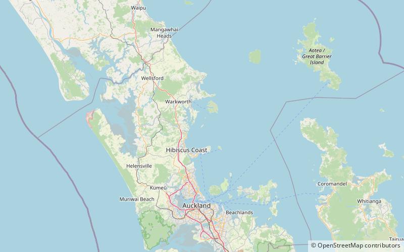
Motuora is an 80 ha island nature reserve in the western Hauraki Gulf, on the north-eastern coast of New Zealand's North Island. It lies some 6.2 km south-west of Kawau Island, 5 km east of Mahurangi Heads and 35 kilometres north of the city of Auckland. ()
Maximum elevation: 220 ftCoordinates: 36°30'20"S, 174°47'35"E
Location
Auckland
ContactAdd
Social media
Add
Day trips