Moturekareka Island, Warkworth

Map
Facts and practical information
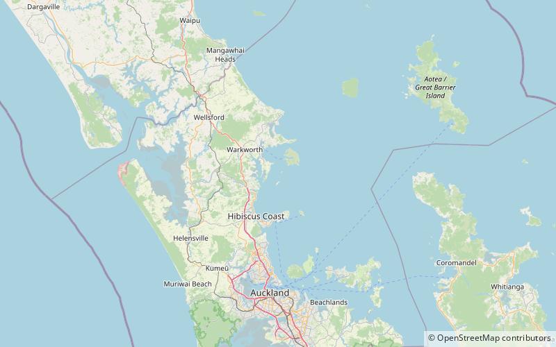
Moturekareka Island is a small island off the southern edge of Kawau Island in Auckland's Hauraki Gulf, approximately 43.7 km north of Auckland. It is separated from nearby Motuketekete Island by Blanche Channel. ()
Coordinates: 36°28'29"S, 174°47'46"E
Address
Warkworth
ContactAdd
Social media
Add
Day trips
Moturekareka Island – popular in the area (distance from the attraction)
Nearby attractions include: Mansion House, Wenderholm Regional Park, Smelting House ruins, Scandrett Regional Park.


