Aotea Centre, Auckland
Map
Gallery
Facts and practical information
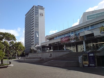
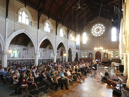
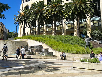
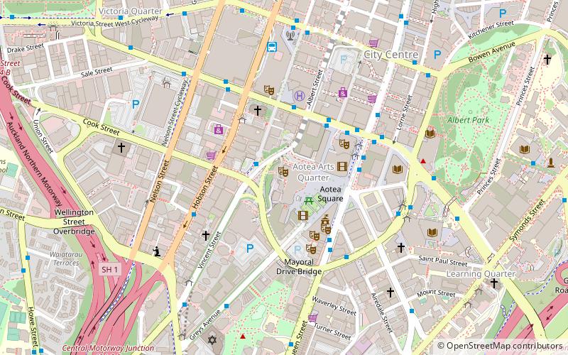
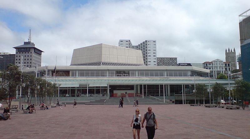
The Aotea Centre is a performing arts and events centre in Auckland, New Zealand. Located at the western edge of Aotea Square, off Queen Street, the centre provides a cultural, entertainment and conventions venue space in the heart of the city, and is managed by Auckland Unlimited. The origin of its name is Motu Aotea, the Māori name for Great Barrier Island, which is the largest offshore island of New Zealand and approximately 90 km from downtown Auckland. ()
Coordinates: 36°51'7"S, 174°45'43"E
Day trips
Aotea Centre – popular in the area (distance from the attraction)
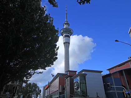
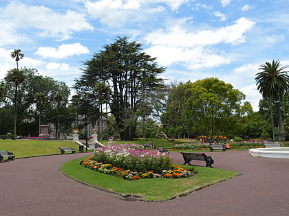
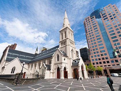
Nearby attractions include: Sky Tower, Albert Park, Victoria Park Market, St Paul's Church.
Frequently Asked Questions (FAQ)
Which popular attractions are close to Aotea Centre?
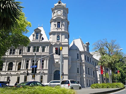
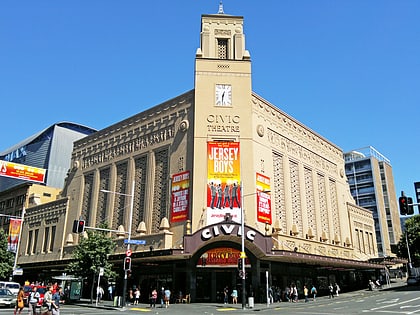
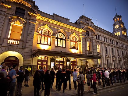
Nearby attractions include Auckland Live, Auckland (1 min walk), Aotea Square, Auckland (2 min walk), Auckland Town Hall, Auckland (3 min walk), St. James Theatre, Auckland (4 min walk).
How to get to Aotea Centre by public transport?
The nearest stations to Aotea Centre:
Bus
Tram
Train
Ferry
Bus
- Wellesley B • Lines: 295 (4 min walk)
- Wellesley Street West / Saint Matthew-in-the-City • Lines: Out (4 min walk)
Tram
- Gaunt Street • Lines: Wynyard Loop (15 min walk)
- Daldy Street • Lines: Wynyard Loop (18 min walk)
Train
- Britomart (17 min walk)
- Parnell (23 min walk)
Ferry
- Downtown Pier 1 (18 min walk)
- Downtown Pier 14 (18 min walk)
