Onetangi Bay, Waiheke Island
Map

Map

Facts and practical information
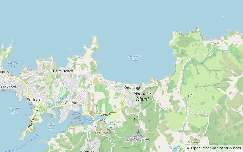
Onetangi Bay is a large bay on the north coast of Waiheke Island in northern New Zealand. The settlement of Onetangi is also situated here. ()
Coordinates: 36°47'2"S, 175°4'36"E
Address
Waiheke Island
ContactAdd
Social media
Add
Day trips
Onetangi Bay – popular in the area (distance from the attraction)
Nearby attractions include: Stony Batter, Waiheke Island Historic Village, Matiatia.


