Ōtara, Auckland
Map
Gallery
Facts and practical information
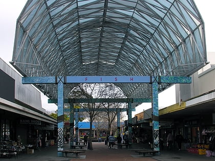
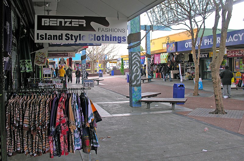
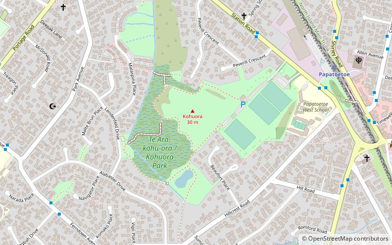
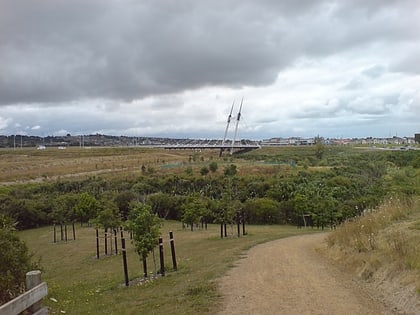
Ōtara is a suburb of South Auckland, New Zealand, situated 18 kilometres to the southeast of the Auckland CBD. Ōtara lies near the head of the Tamaki River, which extends south towards the Manukau Harbour. Contemporary Ōtara is surrounded by the suburbs of Papatoetoe, East Tāmaki, Clover Park and Flat Bush. The suburb is noted for its proportion of Pacific Islander residents, who make up 78% of the Ōtara population, and its unusually low number of European New Zealanders residents. ()
Coordinates: 36°57'39"S, 174°52'28"E
Address
South Auckland (Otara)Auckland
ContactAdd
Social media
Add
Day trips
Ōtara – popular in the area (distance from the attraction)
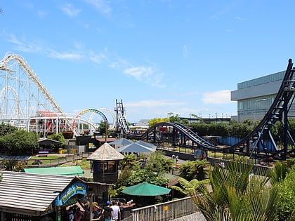
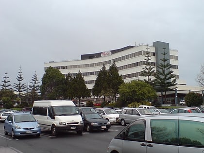
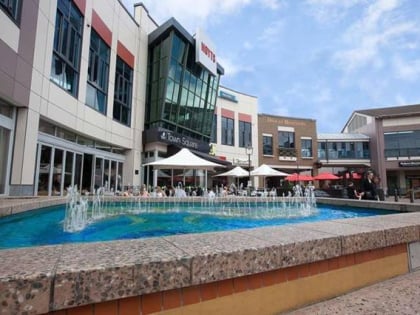
Nearby attractions include: Rainbow's End Theme Park, Westfield Manukau City, Botany Town Centre, Robertson Hill.
